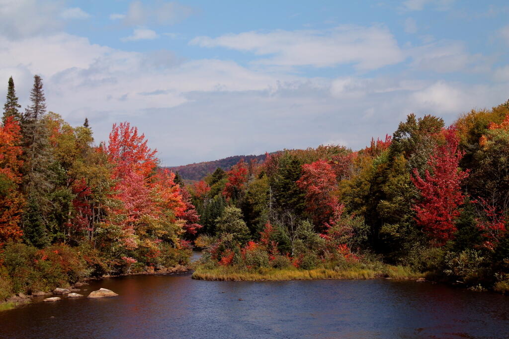
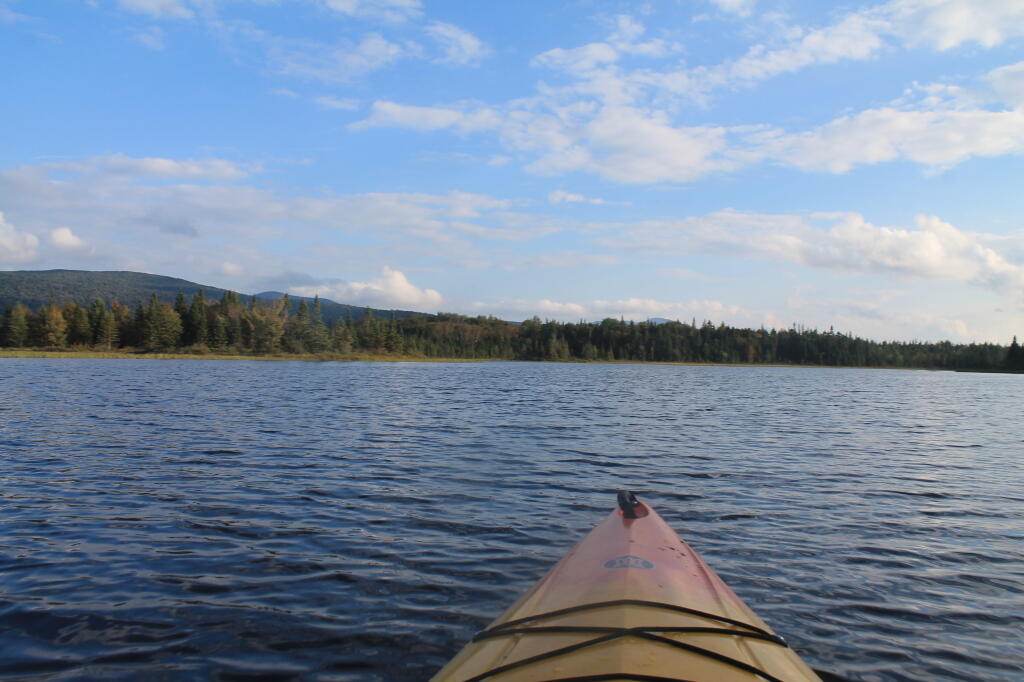
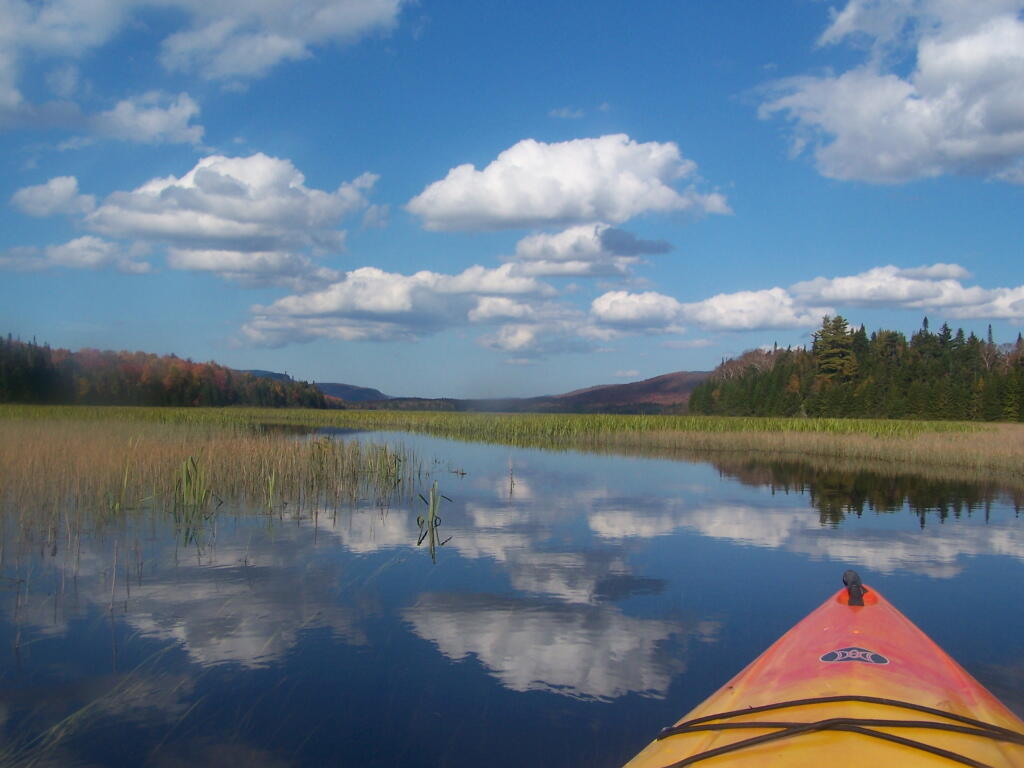
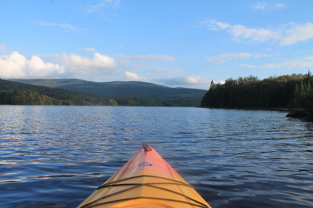
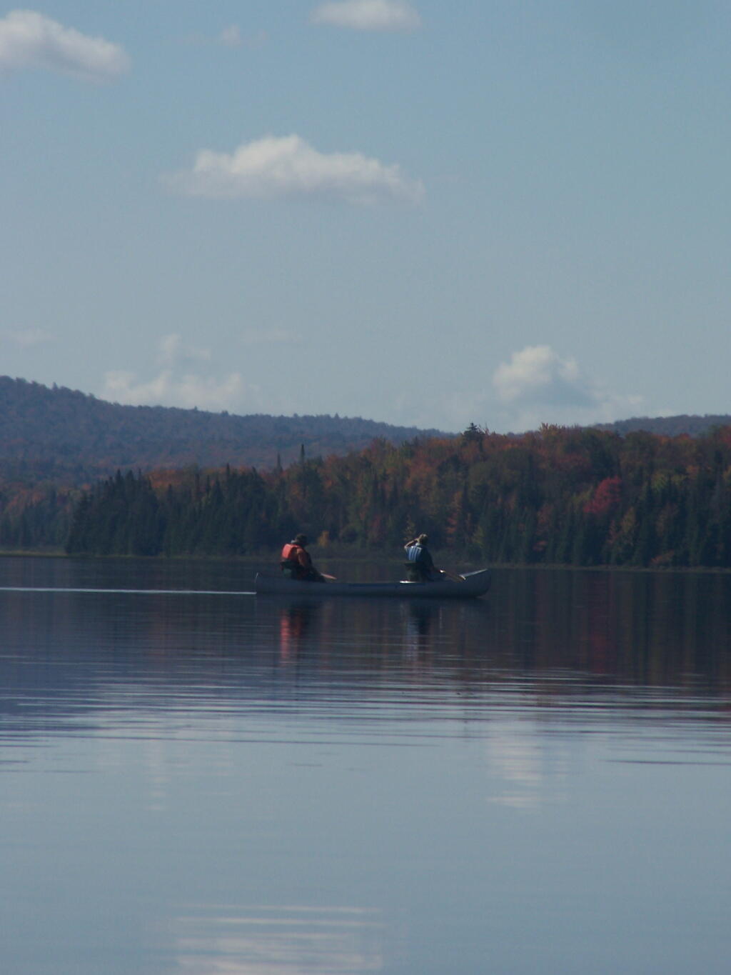
Cedar River Entrance In Fall 🖼️
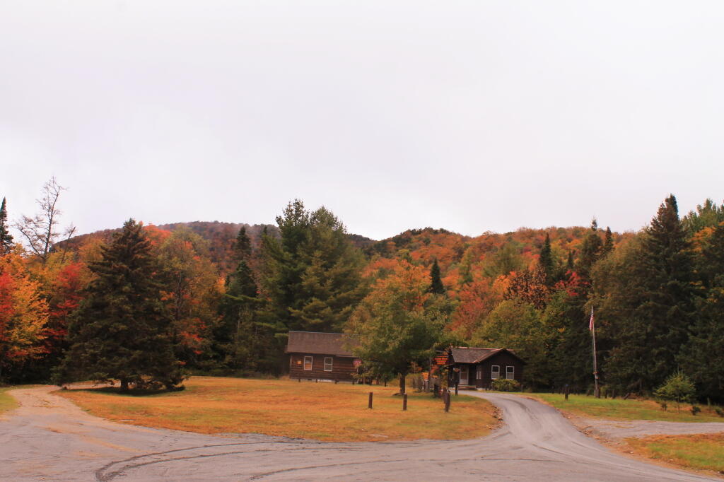
Download a JPEG Image of the Cedar River Entrance In Fall.
Cedar River Entrance In Fall ...
Taken on Sunday September 22, 2013 at Cedar River Flow.
More about Cedar River Flow...
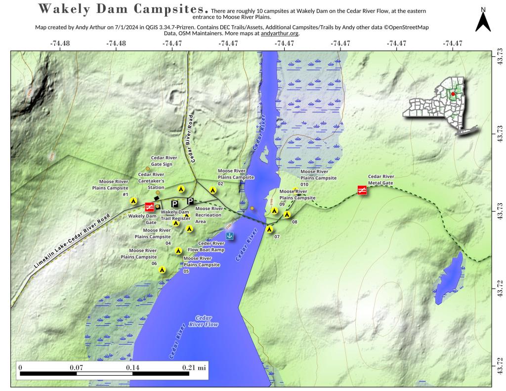
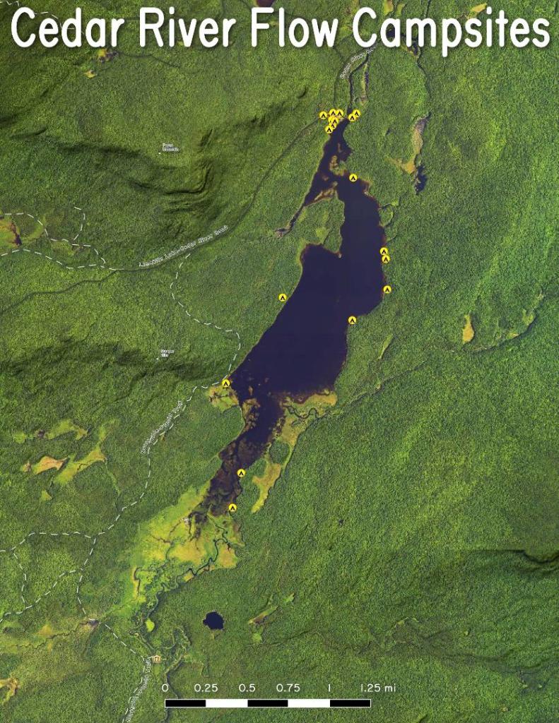
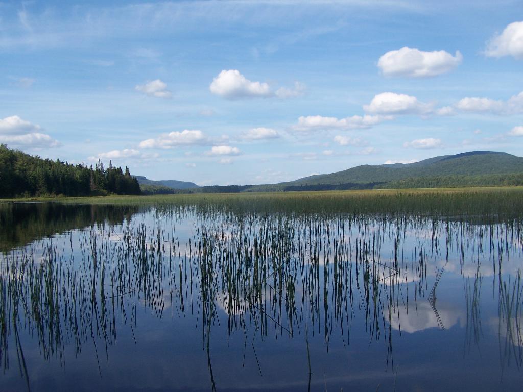
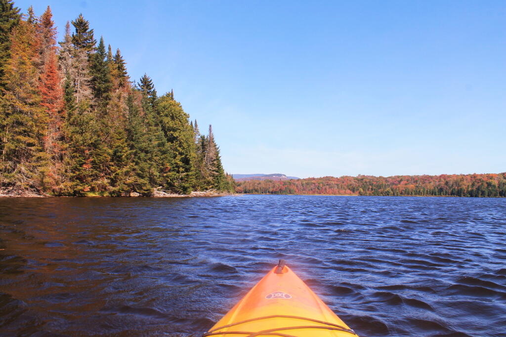
The Cedar River Flow is a remote 640-acre (2.6 km2) shallow lake, created by the Wakely Dam, where there are 10 campsites accessible via a gravel road, 14 miles (23 km) from Indian Lake or 23 miles (37 km) from Inlet. This area is also known as the Cedar River Entrance, and beyond it is the 150 campsites of Moose River Plains.
More campsites are accessible via canoe, around the Flow. It lies on the border between the Moose River Plains Wild Forest and the West Canada Lake Wilderness Area.
You can paddle up the Cedar River, above Cedar River Flow to the first Lean-To. Shortly thereafter, water levels are too low for paddling.