Winter is coming 🖼️
Download a JPEG Image of the Winter is coming.
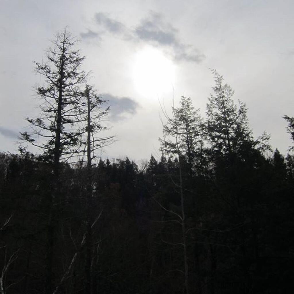
Winter is coming ...
Taken on Monday November 9, 2015 at White Rocks National Recreation Area.

More about White Rocks National Recreation Area...
White Rocks National Recreation Area is a United States National Recreation Area located in southern Vermont, United States, within the Green Mountain National Forest. The Peru Peak and Big Branch Wilderness areas are within White Rocks NRA. On January 17, 2006 President George W. Bush signed Pub.L. 110–1, which renamed the park to the Robert T. Stafford White Rocks National Recreation Area, after Robert Stafford, former Governor of Vermont, United States Representative, and U.S. Senator.
Recreational activities include camping and hiking on a 30 mile (48 kilometer) section of the Appalachian Trail that traverses the recreation area. There are also 61 miles (97.6 kilometers) of maintained snowmobile trails within the recreation area. Chaos Canyon is a cleft in a giant quartzite rockslide in the Area.
The main road through the White Rocks National Recreation Area is Forest Road 10, which is also known as Danby-Landgrove Road. It home to many campsites.
http://en.wikipedia.org/wiki/White_Rocks_National_Recreation_Area


