Snowshoeing Through Deep Snow 🖼️
Download a High Resolution JPEG Image of the Snowshoeing Through Deep Snow or an Adobe Acrobat Printable PDF of the Snowshoeing Through Deep Snow.
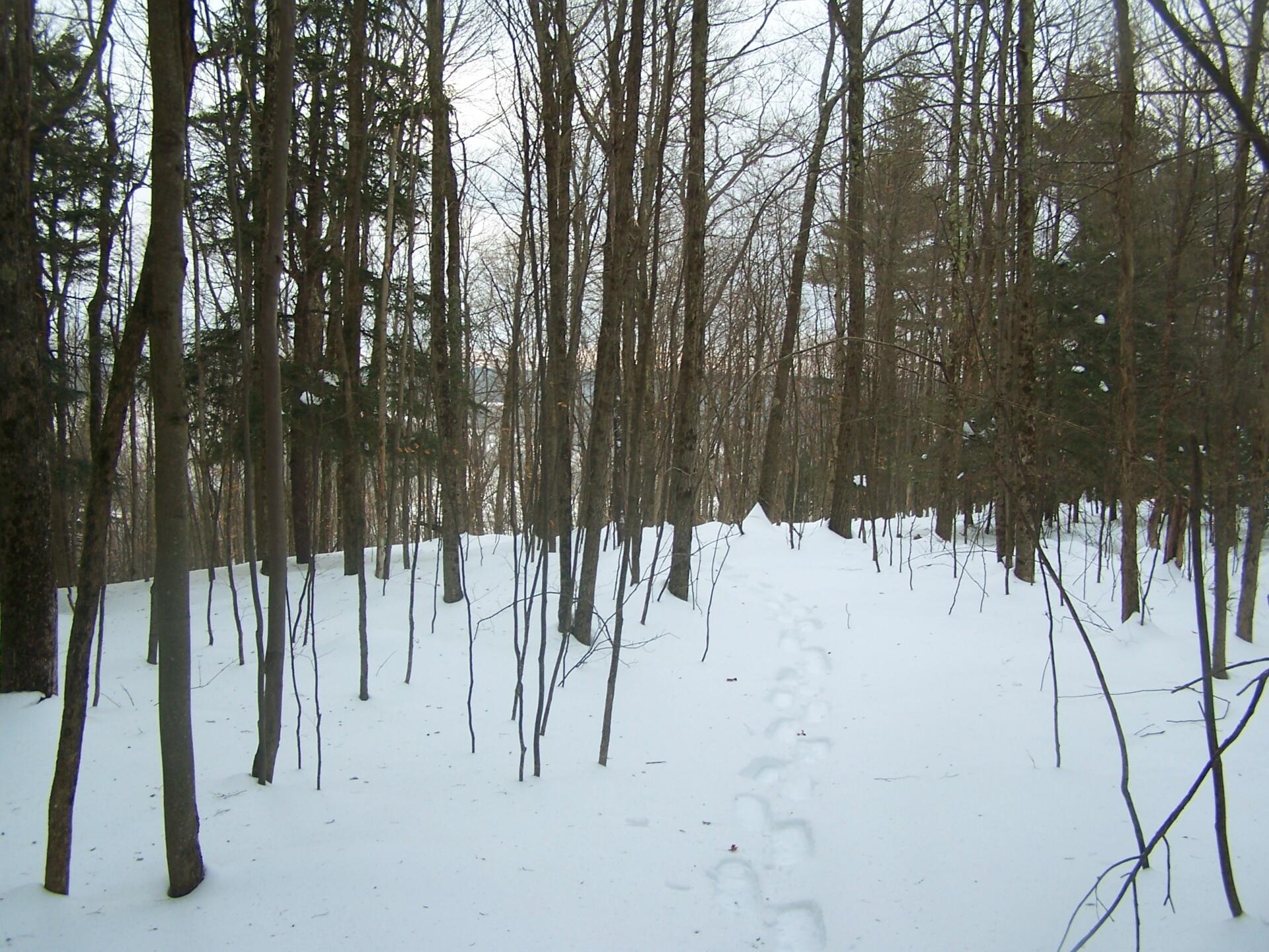
Snowshoeing Through Deep Snow ...
The depth of the snow made it really tough going. It literally took like 45 minutes to go a 1/2 mile, on a relatively flat trail that normally I could have hiked in 15 minutes or so.
Taken on Sunday February 6, 2011 at Partridge Run Game Management Area.

More about Partridge Run Game Management Area...
Partridge Run Wildlife Management Area (WMA) consists of about 4500 acres of upland and wetland habitat in Albany County. It is located in the Town of Berne. The majority of the current WMA was transferred to the New York State in 1962 by the federal government. The WMA can be access from County Rt. 13, County Rt. 6 and a number of town roads. Numerous parking areas are located throughout the WMA. This parcel of public land affords multiple uses for outdoor recreation including hunting, trapping, fishing, birding, hiking, snowmobiling, skiing, and horseback riding.
http://www.dec.ny.gov/outdoor/86068.html


