
Thirteenth Lake

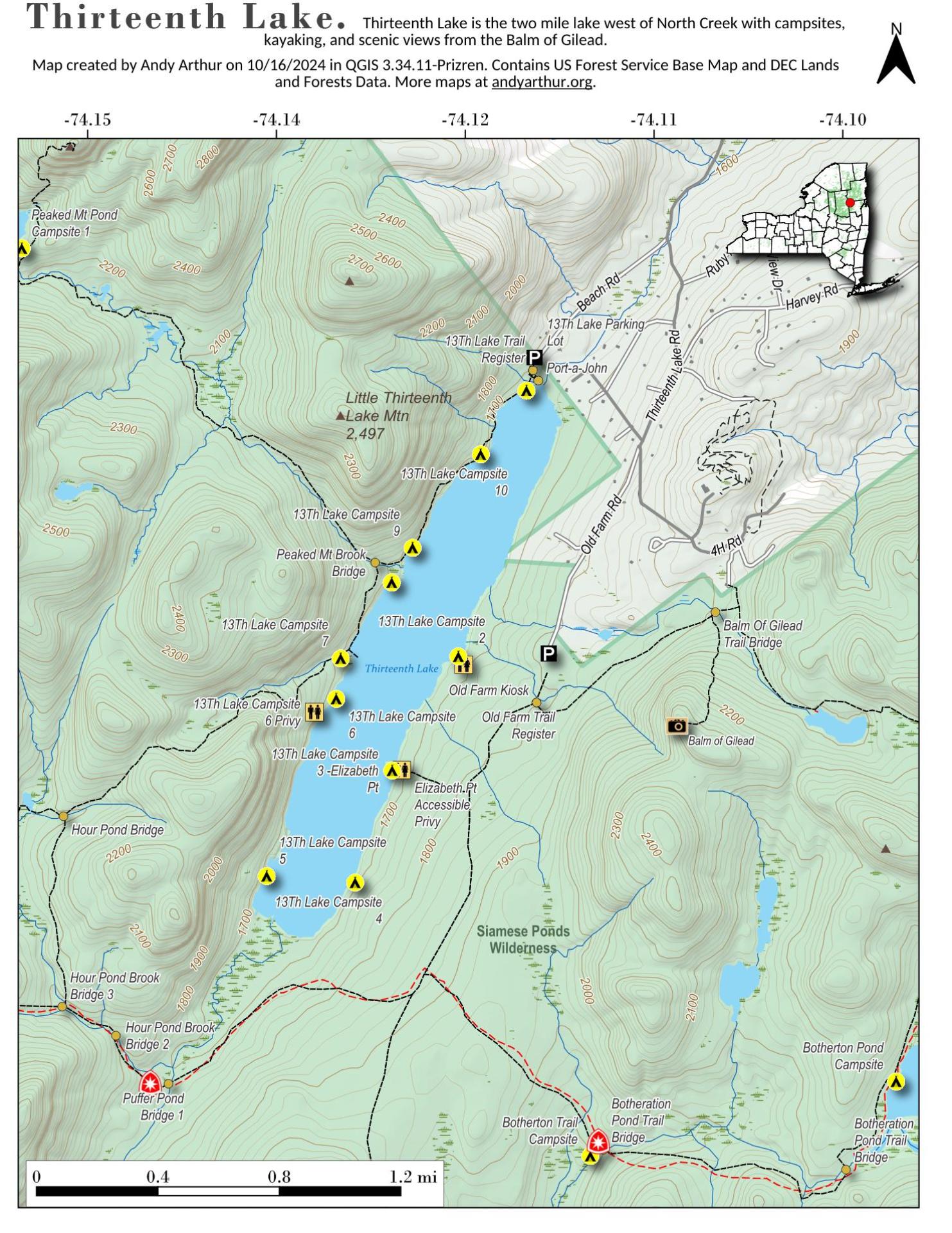
Download a High Resolution JPEG Image of the Thirteenth Lake or an Adobe Acrobat Printable PDF of the Thirteenth Lake.
![Thematic Map: Untitled [Expires October 21 2026]](/data/photo_09487_small.jpg "Thematic Map: Untitled [Expires October 21 2026]")
Bookmark my free Interactive GPS Map for your phone:
https://andyarthur.org/ny
... shows your location as a blue dot in relationship to campsites, trails, state land. This online map requires cell service, won't work in remote country, so also bring a paper map.
Free Download of New & Historical USGS 1:24k Topograpic Maps
Interactive maps with backcountry and roadside camping: New York, Pennsylvania, West Virginia & Vermont. List of NYS DEC Lean-Tos and Firetowers.
Google Spreadsheet with Roadside, Primitive and Pay Campsites
More about Thirteenth Lake...
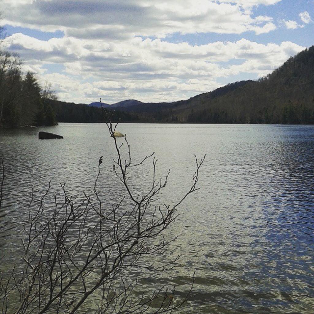
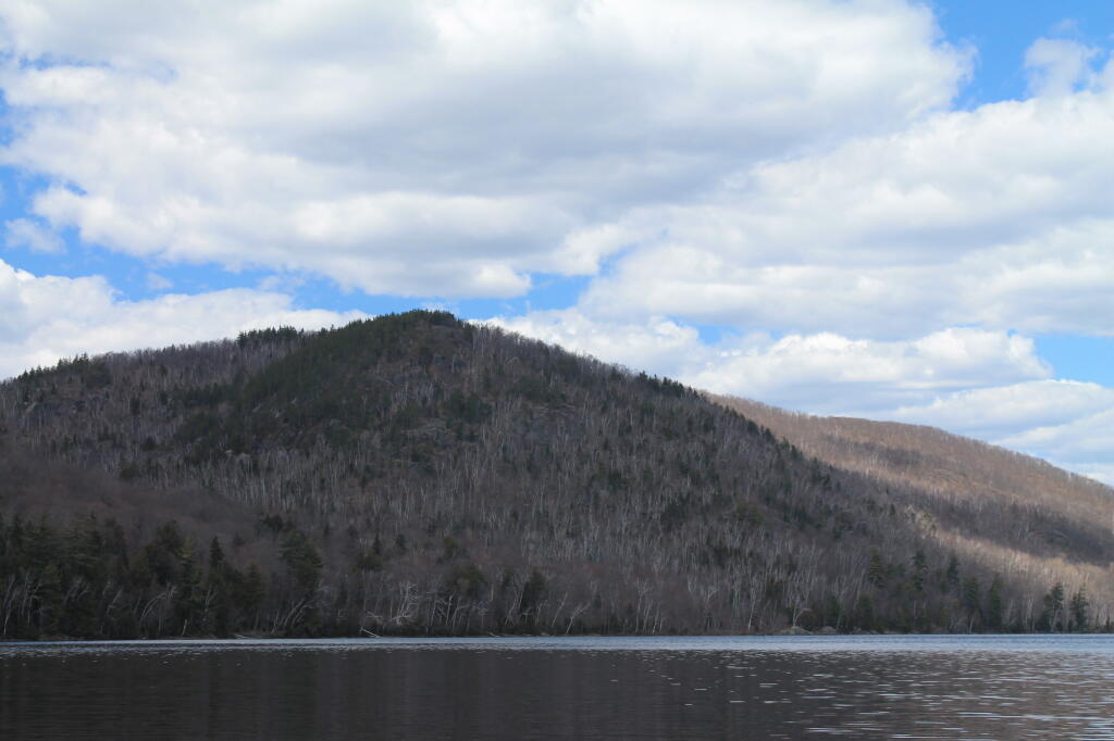
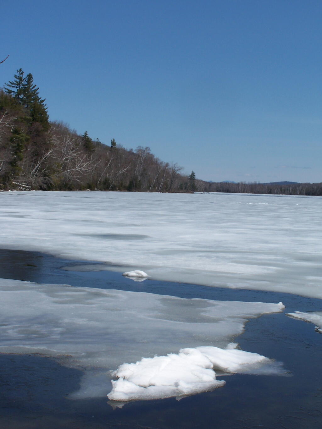
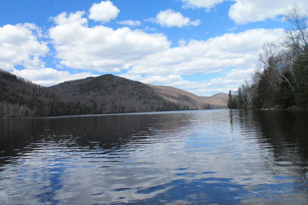
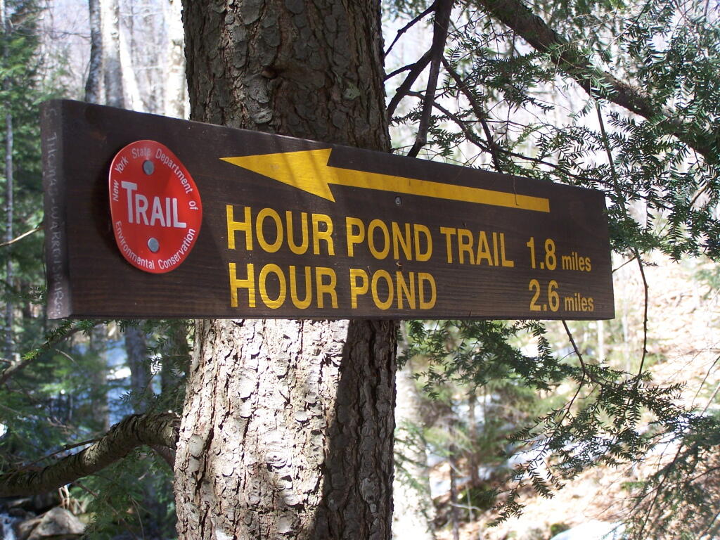
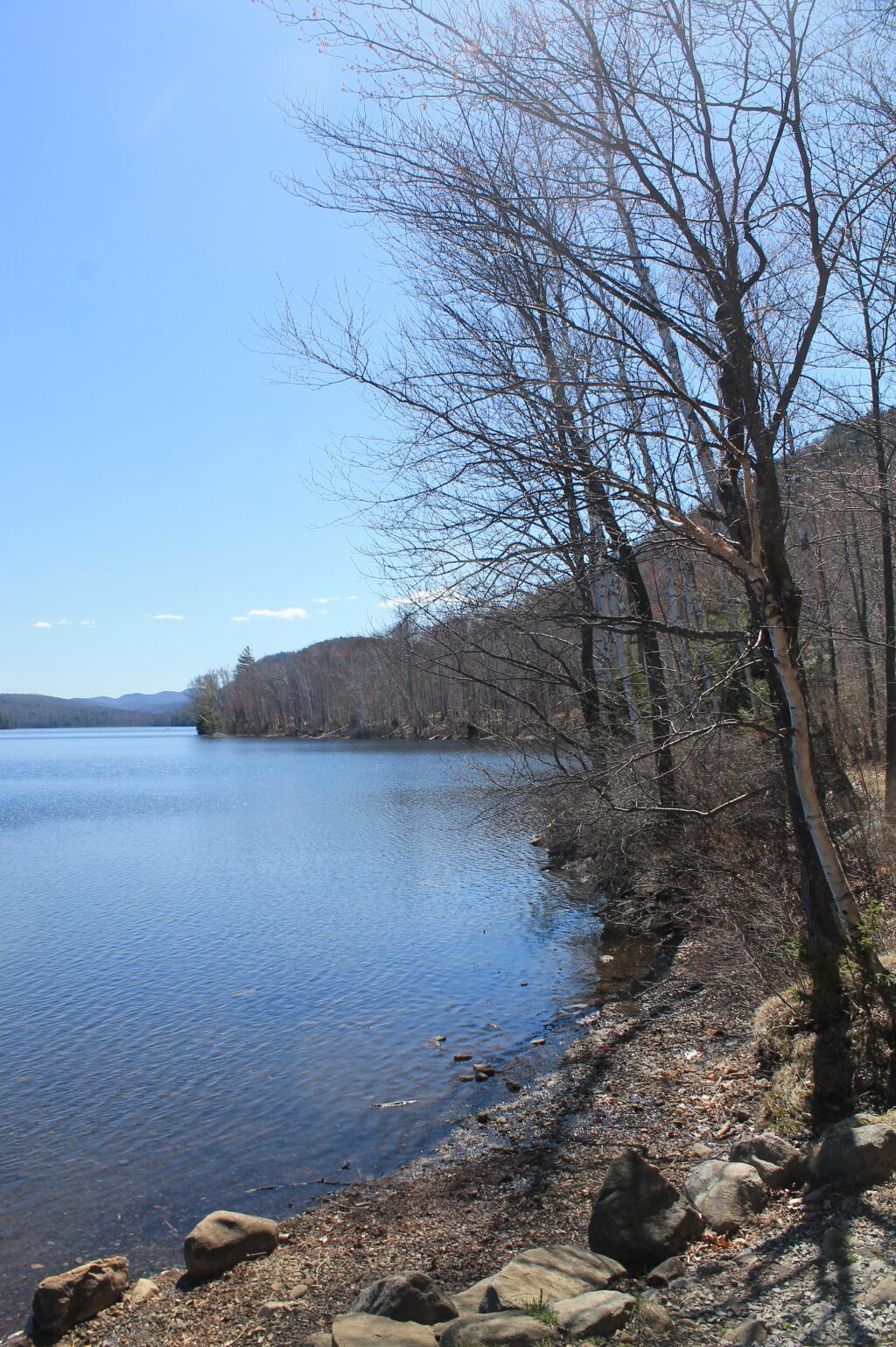
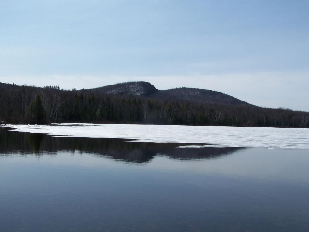
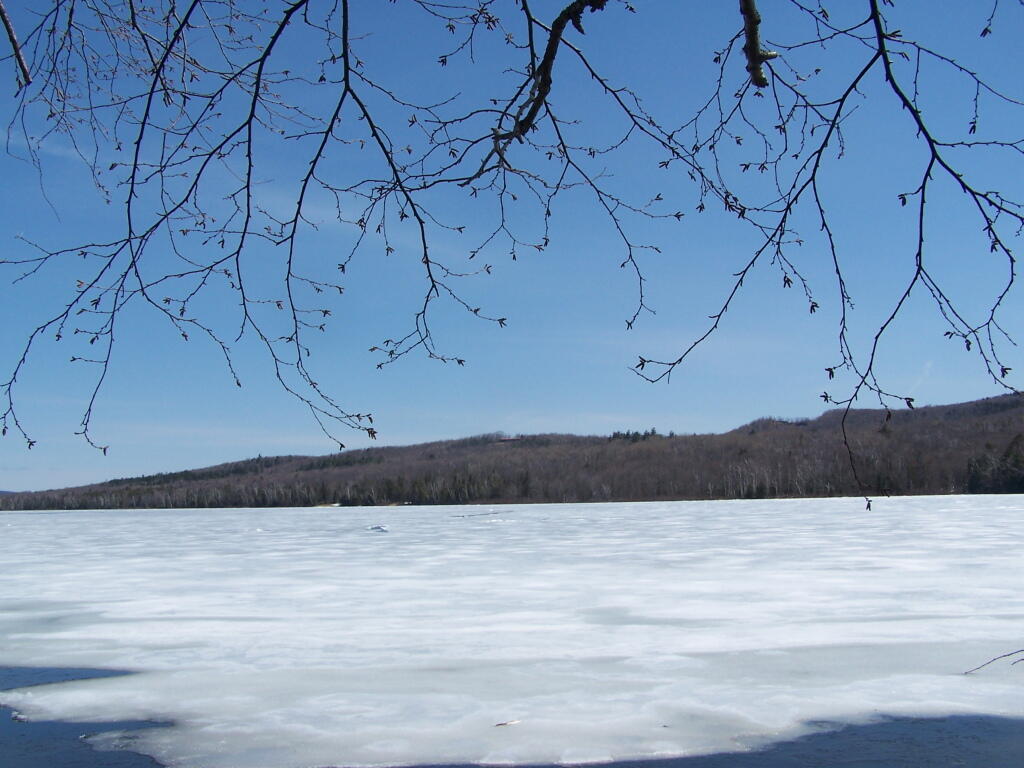
Two-mile long Thirteenth Lake is west of the North Creek and North River area and lies at the edge of the Siamese Ponds Wilderness Area. Most of the shoreline is state land – there is a little development at its eastern shore. From NY Route 28 in North River, take Thirteenth Lake Road for 3.5 miles, and turn right on a dirt road to the parking area. One does have to carry or wheel their canoe or kayak 150 yards along a smooth wide trail to the water’s edge passing by primitive campsites, outhouses, and a picnic area. The put-in is to the left of the register.
http://www.adksports.com/july11_1.html

1 Trackback or Pingback