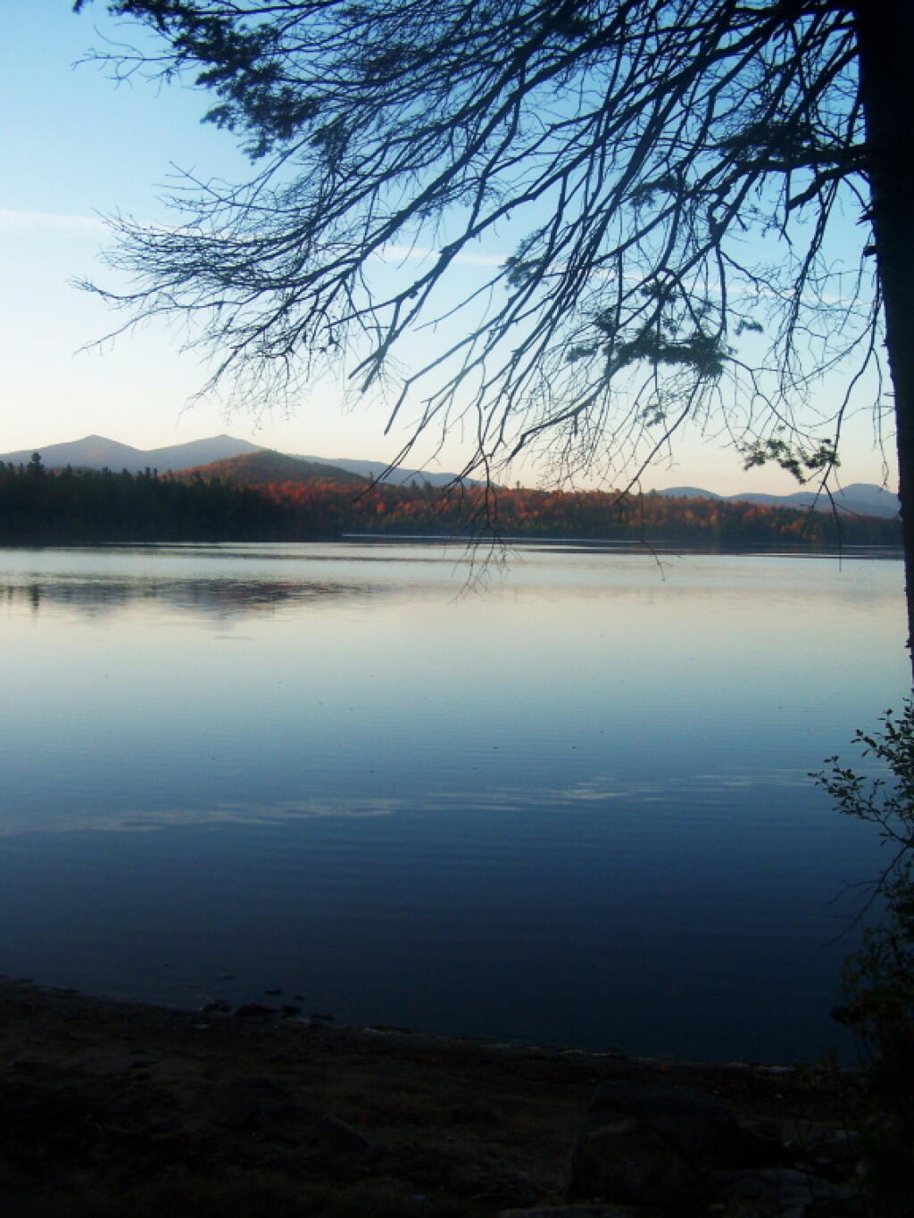
Morning Fog Lifting 🖼️
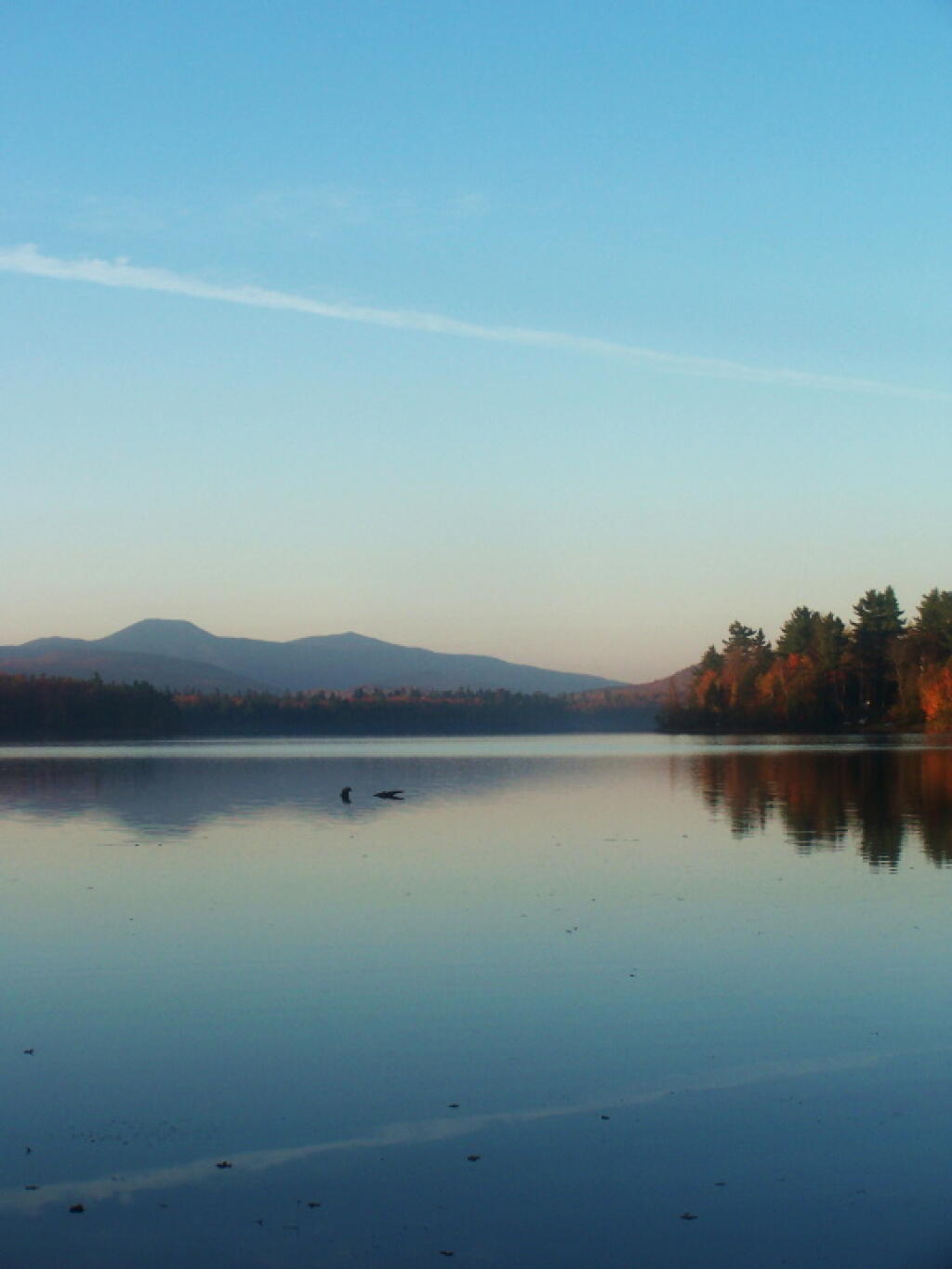
Download a JPEG Image of the Morning Fog Lifting.
Morning Fog Lifting ...
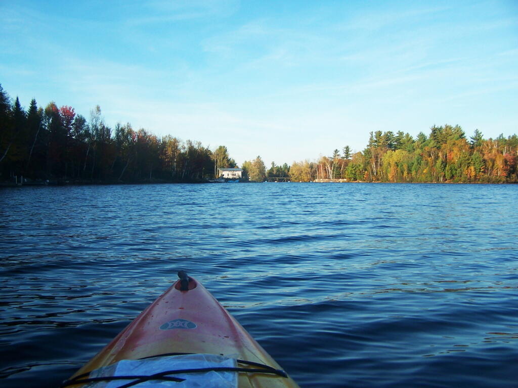
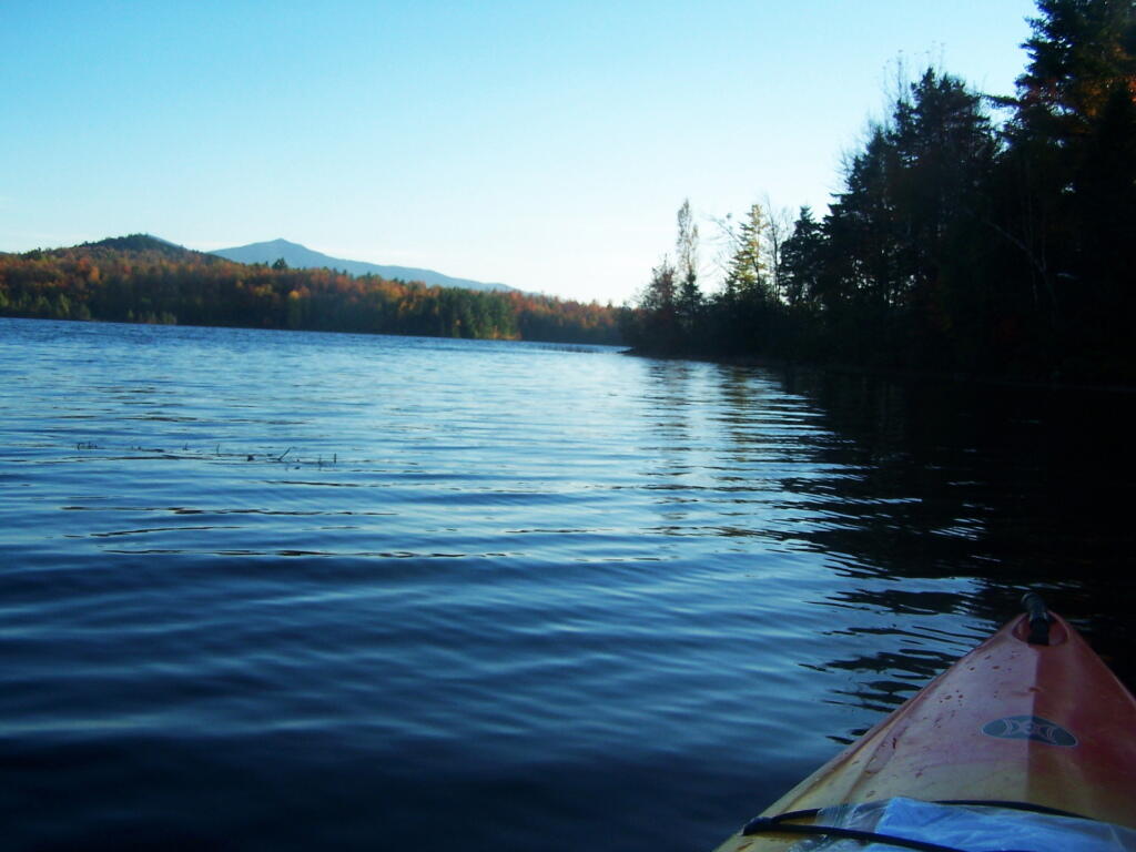
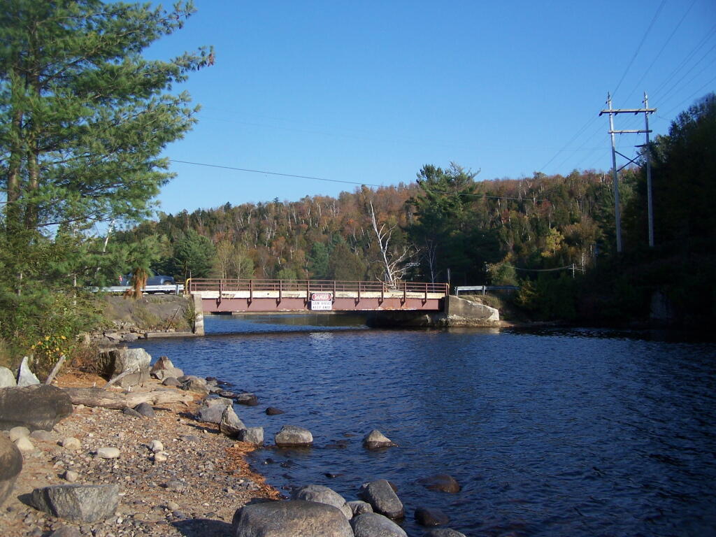
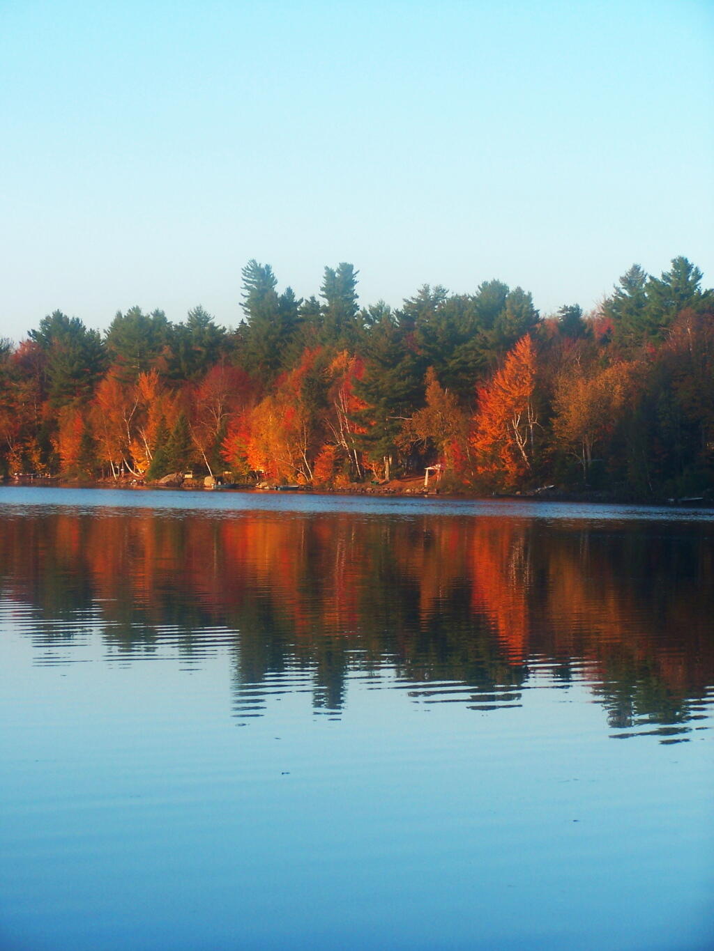
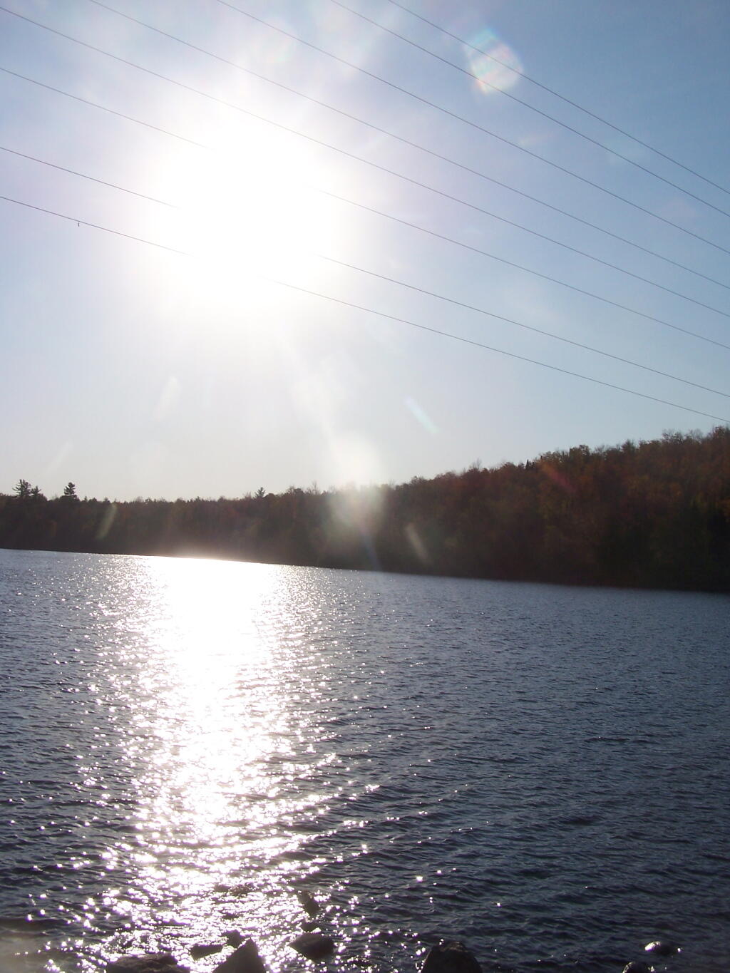
Taken on Friday October 7, 2011 at Union Falls Pond.
More about Union Falls Pond...
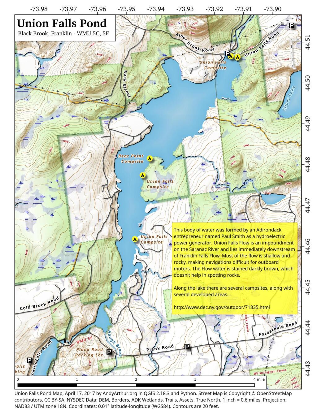
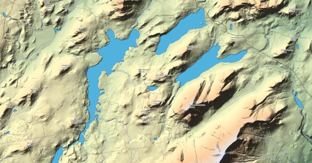
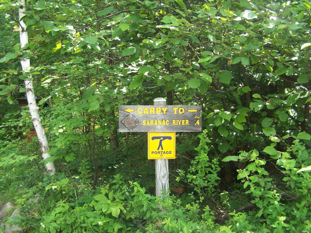
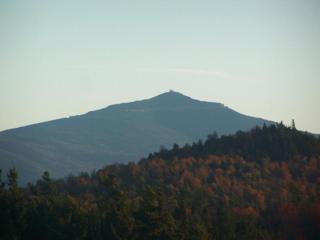
A 3-mile lake north of Franklin Falls in the southeast part of the Town of Franklin. Offers paddling with breathtaking views of Whiteface Mountain, with several campsites along the lake.