![Untitled [Expires November 15 2024]](https://andyarthur.com//data/photo_017517_large.jpg)
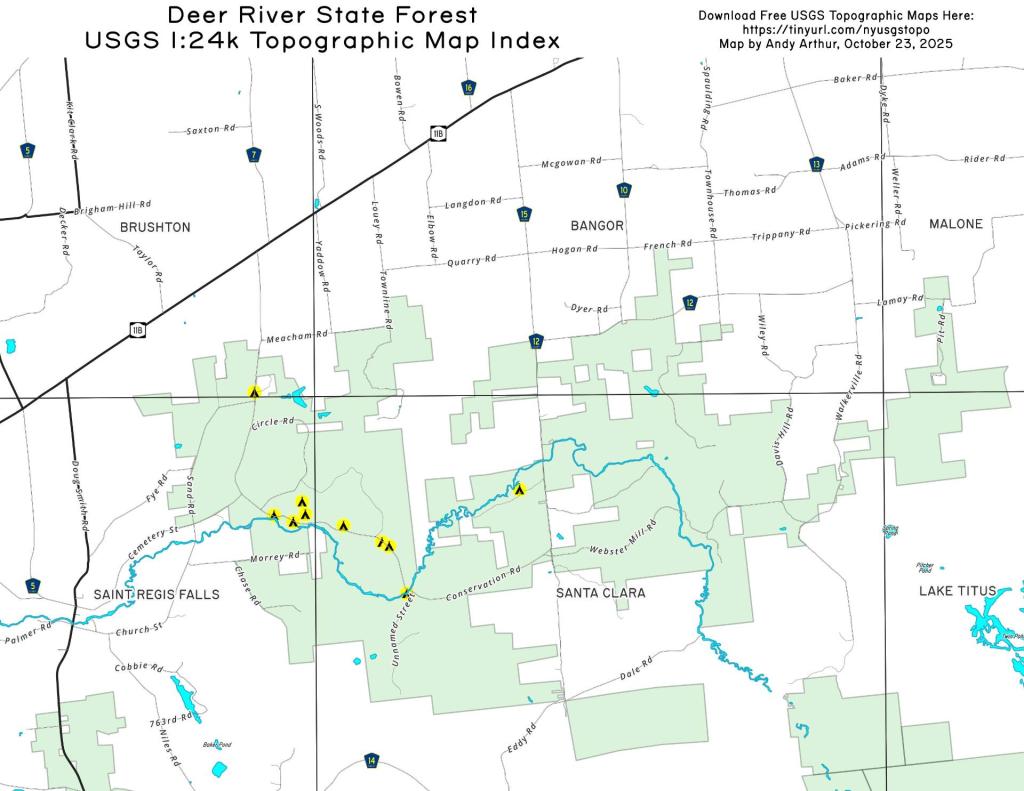
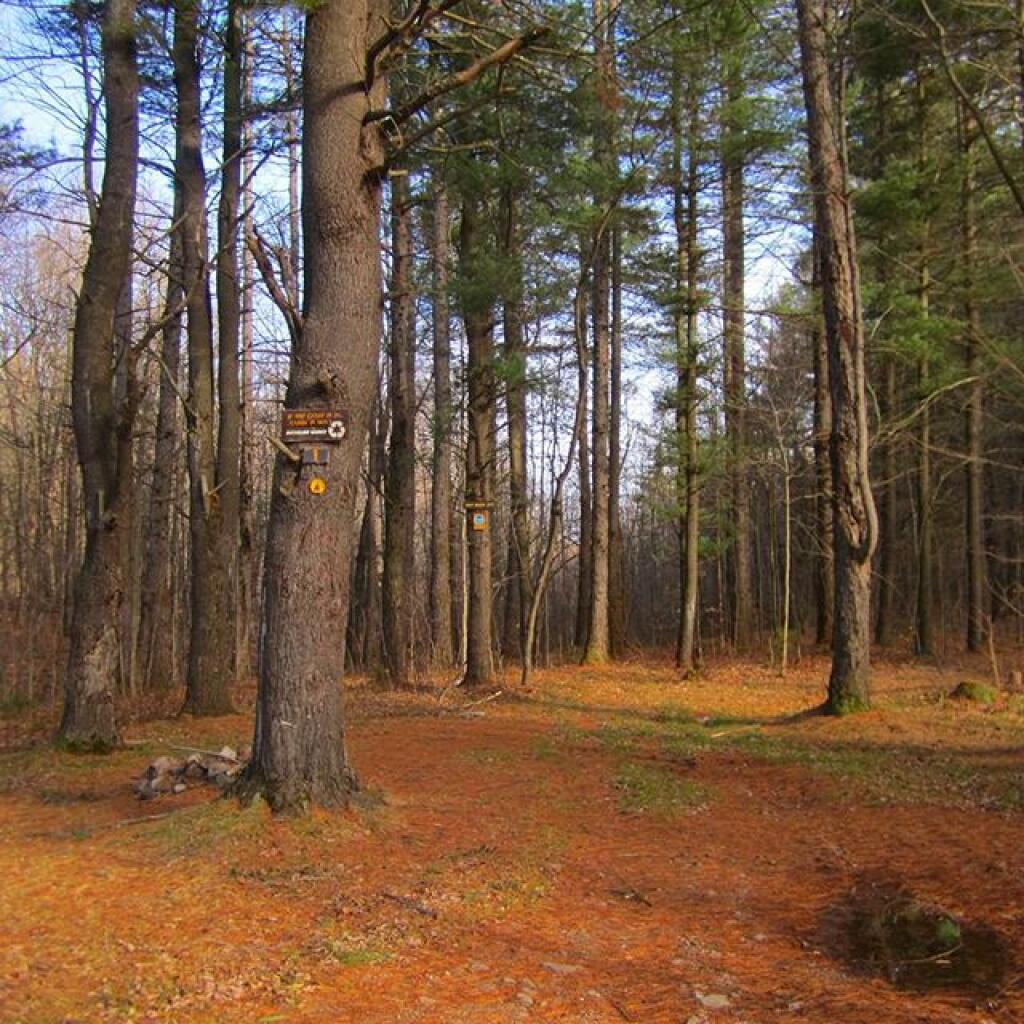
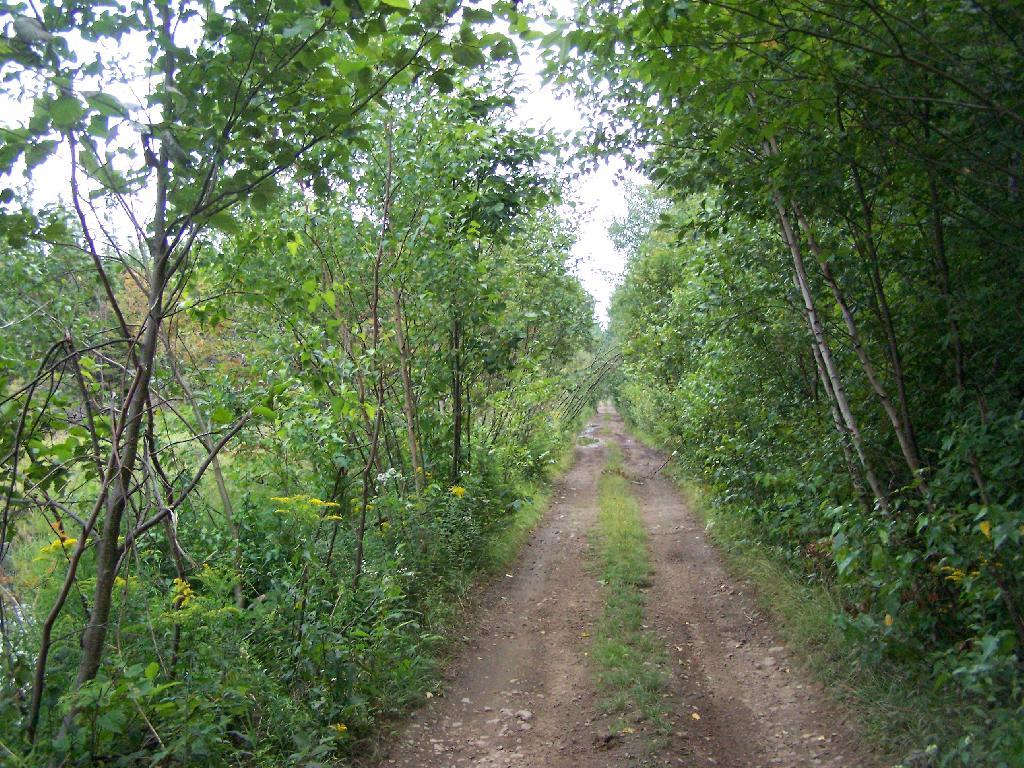
In south-western Franklin County there is a state forest with approximently 12,00 acres of land, and almost 12 miles of truck trail. Most of it is wooded and moderately hilly, with acres of swamps and rivers, with substainal access via truck trail.
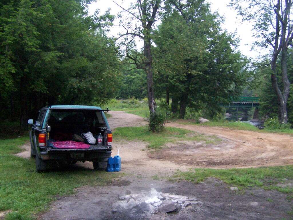
There are three campsites along Conservation Road, with one at Iron Bridge on the Deer River. This is a popular site, one with limited nearby firewood. You probably could drive to another portion of the forest, chop up some wood, and drive back so you have enough for camping.
| Name | Latitude | Longitude |
| Avery Lot Site | 44.7352235914112 | -74.4550802614741 |
| Conservation Road Primitive Campsite | 44.7265204084443 | -74.4838001692901 |
| Foot Bridge Site | 44.731452233788 | -74.5090540850248 |
| Horse Assembly Area (Two Sites) | 44.7507488855137 | -74.5131752114971 |
| Iron Bridge Site | 44.7190820582264 | -74.4799989894277 |
| Larch Site | 44.730415232034 | -74.5048391659423 |
| Number 7 | 44.7335461250466 | -74.5028504711799 |
| Site 10 | 44.7315799764063 | -74.5021705324054 |
| Site 6 | 44.7271320391316 | -74.4853763854447 |
| Site 8 | 44.7297640340073 | -74.4938030505511 |
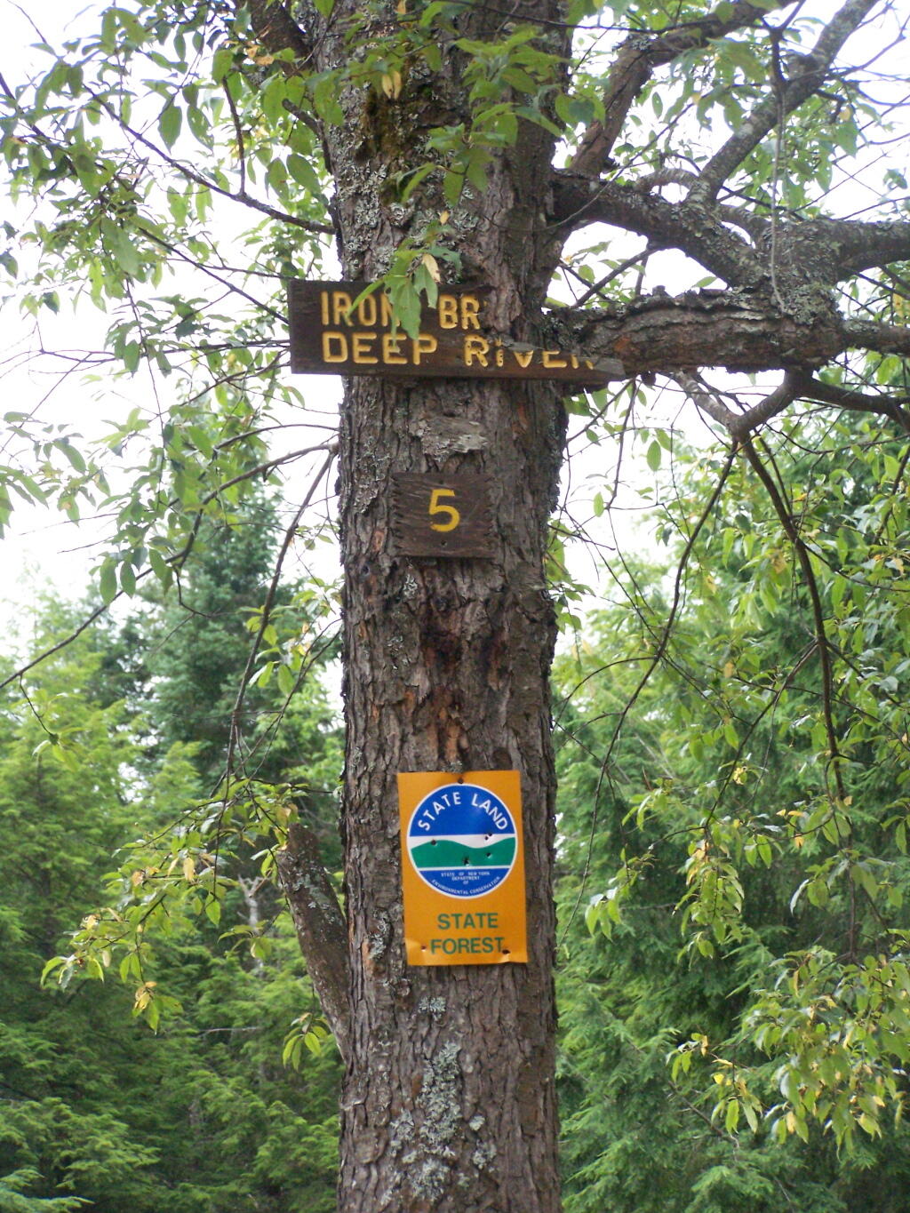
The site is number 5, although I was only able to find sites one and two nearby. The other ones must be on other roads. I didn’t drive all over Deer River State Forest, due to the noise the hubs where making on the truck, worrying me about a potential breakdown/failure with the bad hubs.
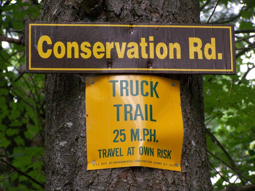
Parts of Conservation Road where relatively rough and potholed, but compared to some of the other roads it wasn’t all that bad.
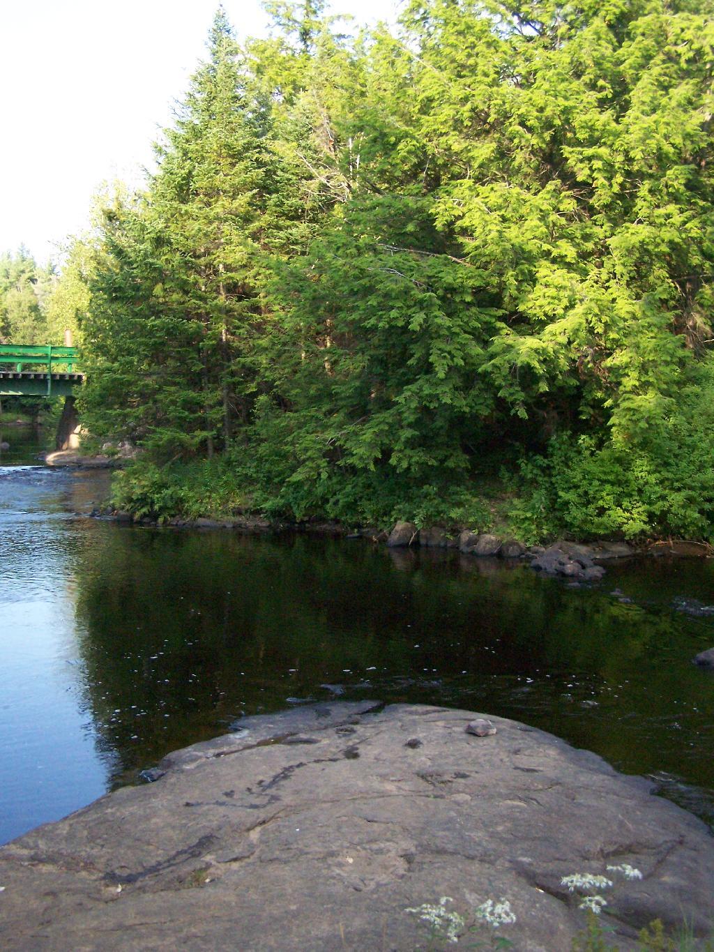
At Iron Bridge, there is a popular swimming hole. I went in both in them evening to cool off and in the morning to bathe.
Here is an an interactive map: