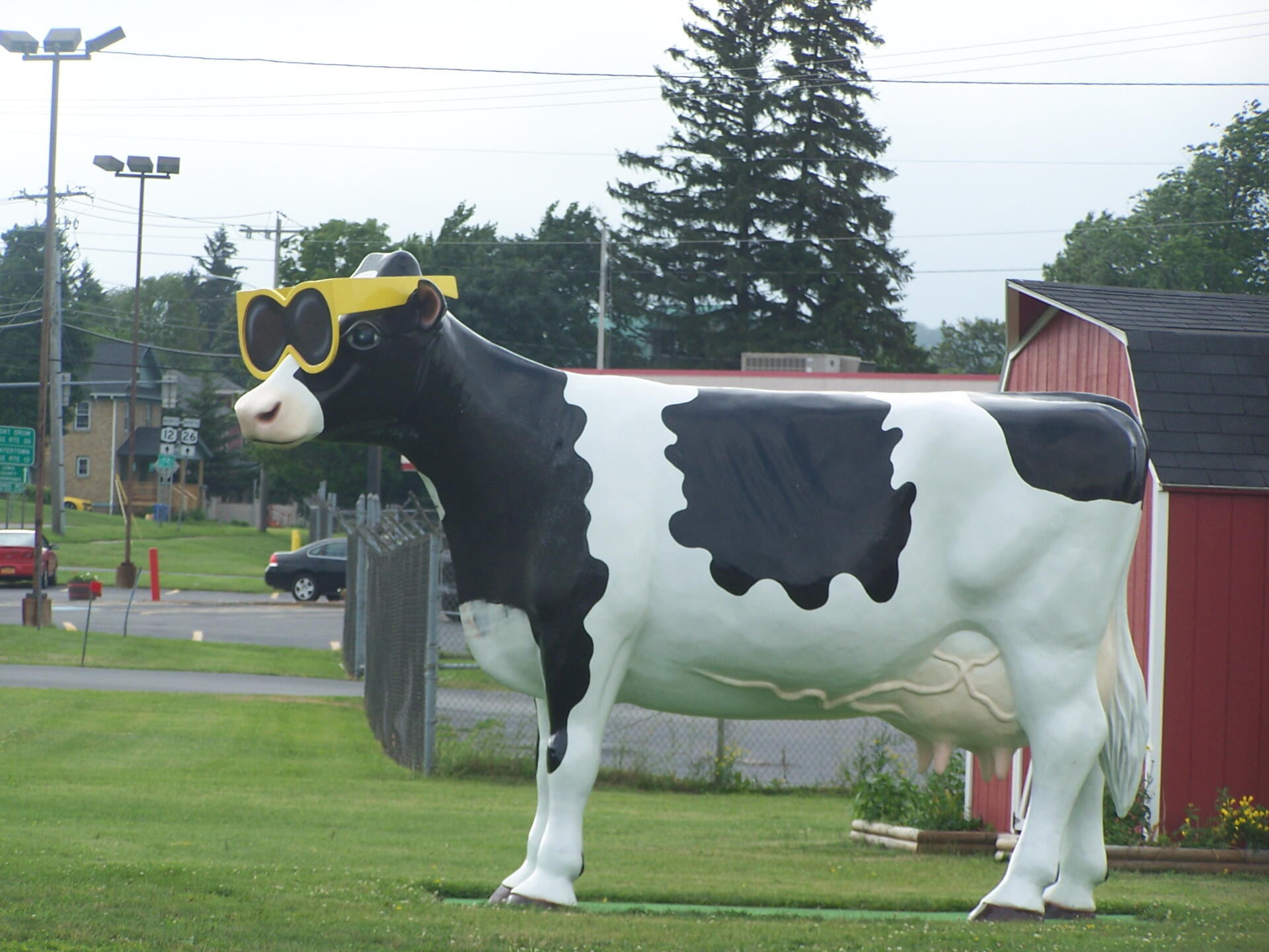
Cow with Sunglasses (Up Closer) 🖼️
Download a High Resolution JPEG Image of the Cow with Sunglasses (Up Closer) or an Adobe Acrobat Printable PDF of the Cow with Sunglasses (Up Closer).
Cow with Sunglasses (Up Closer) ...
And yes, behind him is the sign for NY 12 and NY 26. Now it's clear that I was in Lowville.
Taken on Wednesday June 29, 2011 at Lewis County.

More about Lewis County...
Lewis County is a county located in the U.S. state of New York. As of the 2010 census, the population was 27,087.[1] It is named after Morgan Lewis, the Governor of New York when the county was established. Its county seat is Lowville.
Lewis County is located in northwestern New York State, slightly east of due north from Syracuse. The eastern part of the county is in the Adirondack Park. A good portion of the Tug Hill Plateau is in the western part of the county. The county is home to the Black River Valley.
http://en.wikipedia.org/wiki/Lewis_County,_New_York
Download the PDF Map Pack with All Maps from Lewis County.


