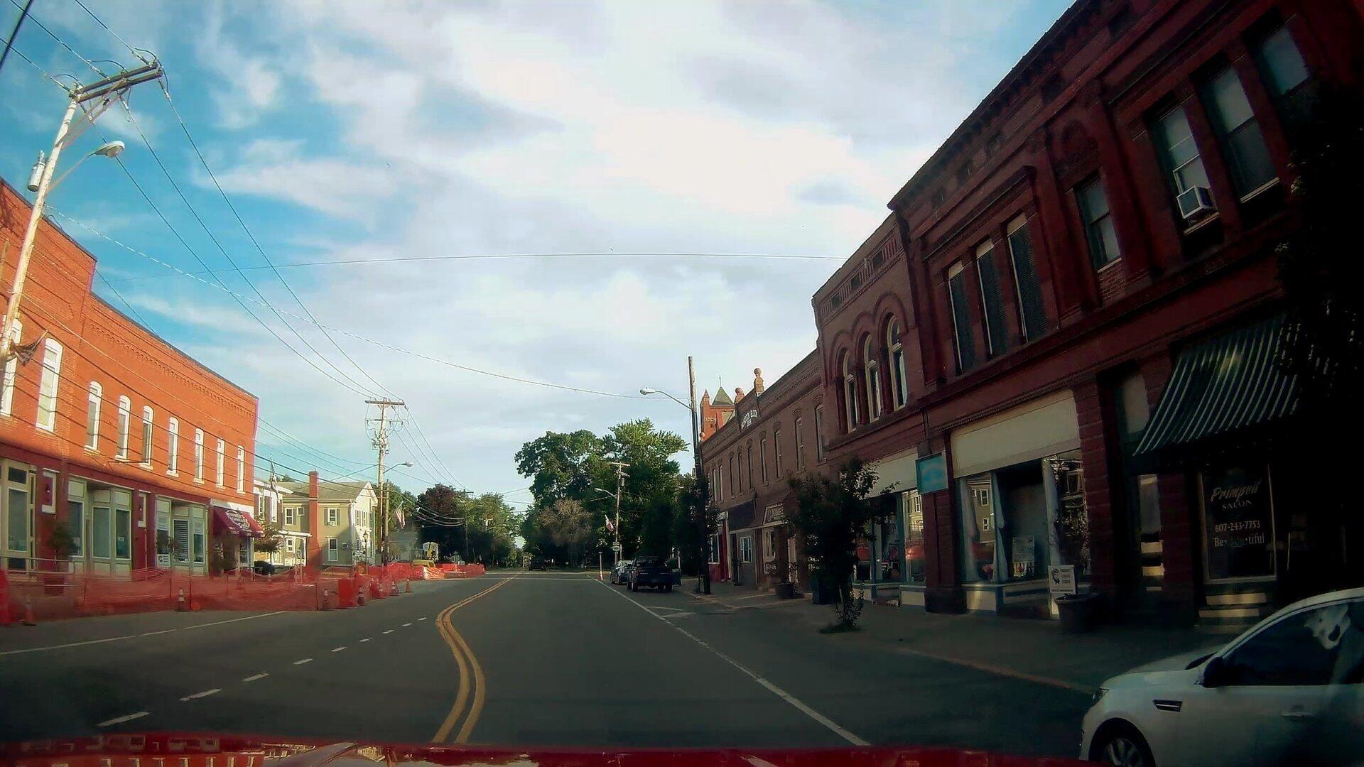
Main Street Dundee 🖼️
Download a High Resolution JPEG Image of the Main Street Dundee or an Adobe Acrobat Printable PDF of the Main Street Dundee.
Main Street Dundee ...
A pretty quiet Main Street on a Thursday evening. A big sidewalk project is underway in the village.
Taken on Friday August 14, 2020 at Lewis County.

More about Lewis County...
Lewis County is a county located in the U.S. state of New York. As of the 2010 census, the population was 27,087.[1] It is named after Morgan Lewis, the Governor of New York when the county was established. Its county seat is Lowville.
Lewis County is located in northwestern New York State, slightly east of due north from Syracuse. The eastern part of the county is in the Adirondack Park. A good portion of the Tug Hill Plateau is in the western part of the county. The county is home to the Black River Valley.
http://en.wikipedia.org/wiki/Lewis_County,_New_York
Download the PDF Map Pack with All Maps from Lewis County.


")


