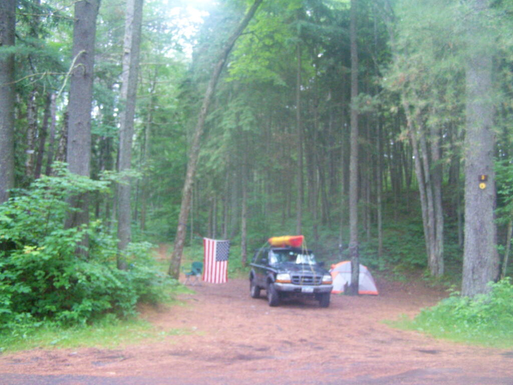
The Campsite 🖼️
Download a JPEG Image of the The Campsite.
The Campsite ...
I would have much rather stayed at Campsite 4, but it was already taken. Campsite 3 was pretty good, but occasionally you could smell the outhouse from it. I threw a whole bunch of waste paper in (ripped up maps), to hopefully control the smell by adding more carbon to the human waste in the outhouse.
Taken on Sunday July 3, 2011 at Mountain Pond.

More about Mountain Pond...
Mountain Pond is a small, narrow lake, located along Old Route 30, just 2 miles north of Paul Smiths. Offers 6-roadside camping spots, along with a secluded, lesser used pond, near Barnum Pond and Osgood Pond.
Download the PDF Map Pack with All Maps from Mountain Pond.


