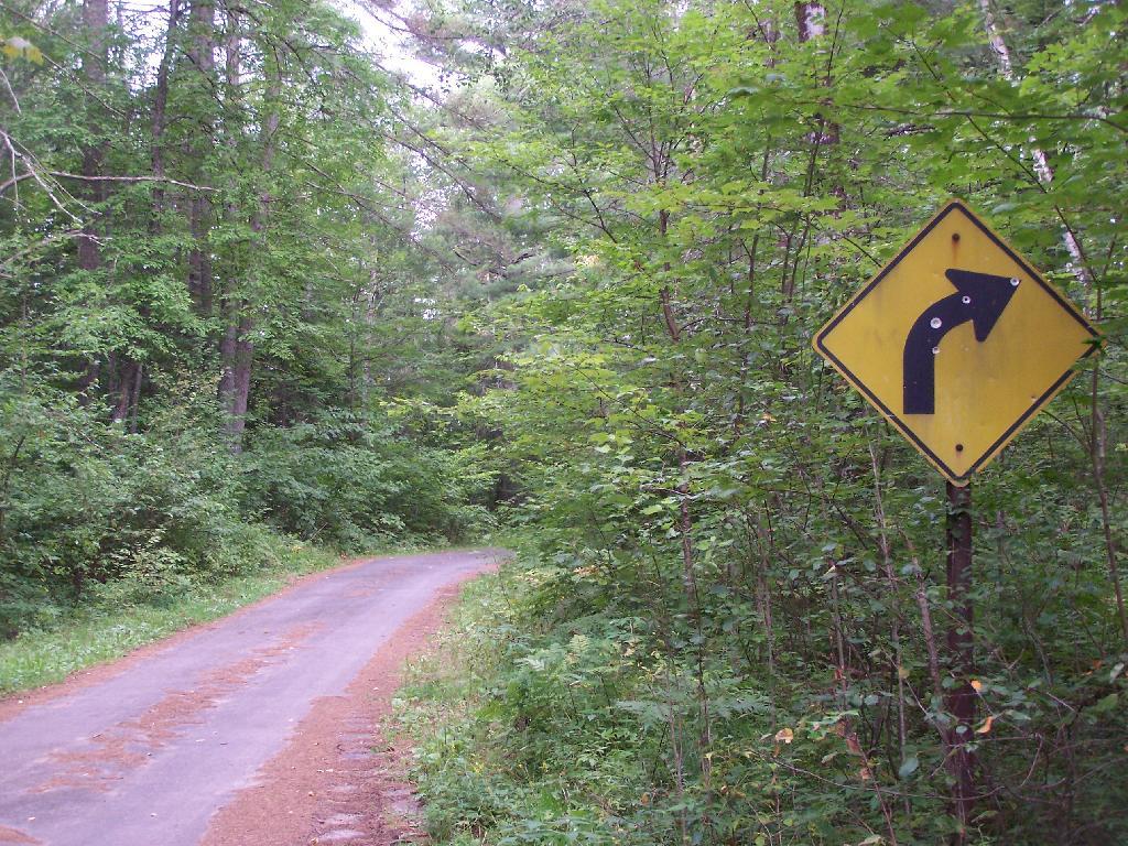
Old NY 30 Signs 🖼️
Download a JPEG Image of the Old NY 30 Signs.
Old NY 30 Signs ...
Along Mountain Pond Road/Old NY 30, you can see the road signs dating back to the 1960s or maybe even earlier, prior to modern alignment of NY 30.
Taken on Sunday August 15, 2010 at Mountain Pond.

More about Mountain Pond...
Mountain Pond is a small, narrow lake, located along Old Route 30, just 2 miles north of Paul Smiths. Offers 6-roadside camping spots, along with a secluded, lesser used pond, near Barnum Pond and Osgood Pond.
Download the PDF Map Pack with All Maps from Mountain Pond.


