
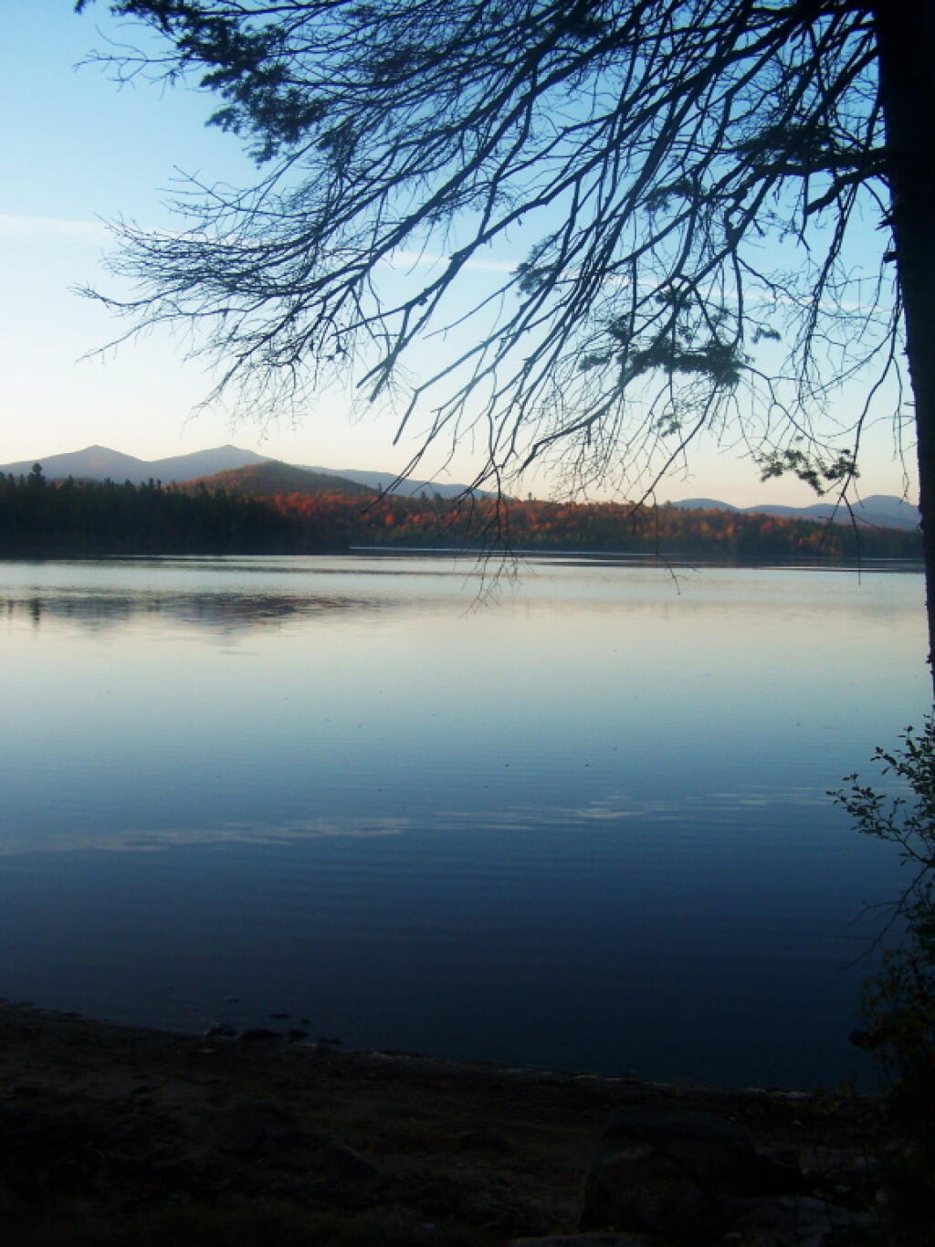
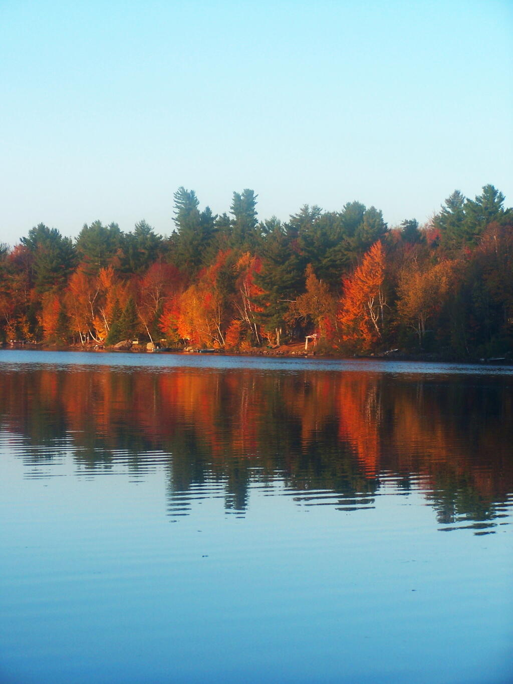
Little Bear Bay 🖼️
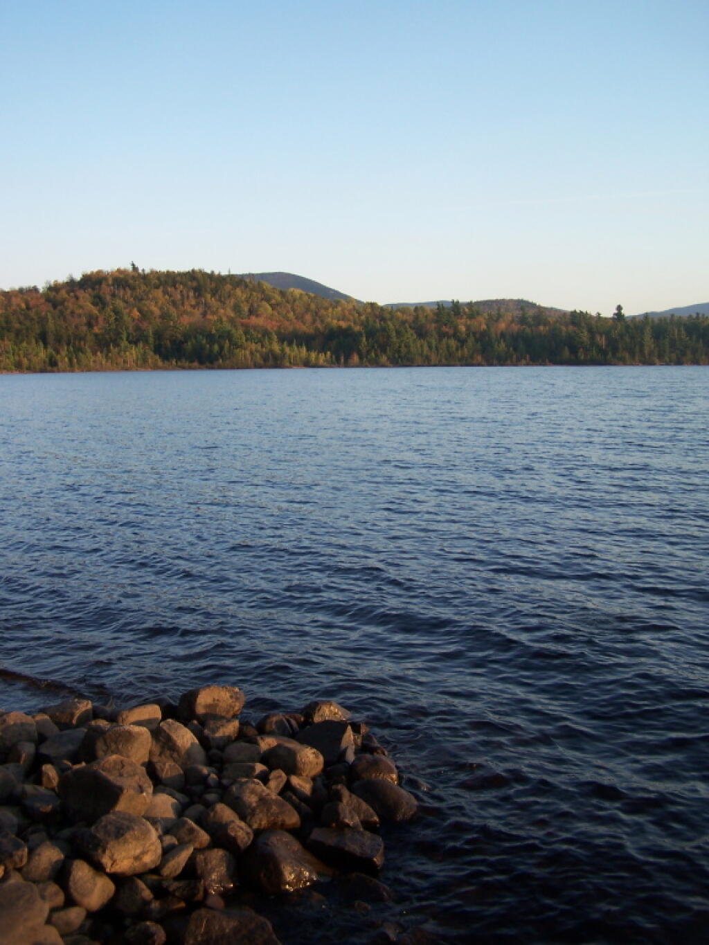
Download a JPEG Image of the Little Bear Bay.
Little Bear Bay ...
Taken on Friday October 7, 2011 at Union Falls Pond.
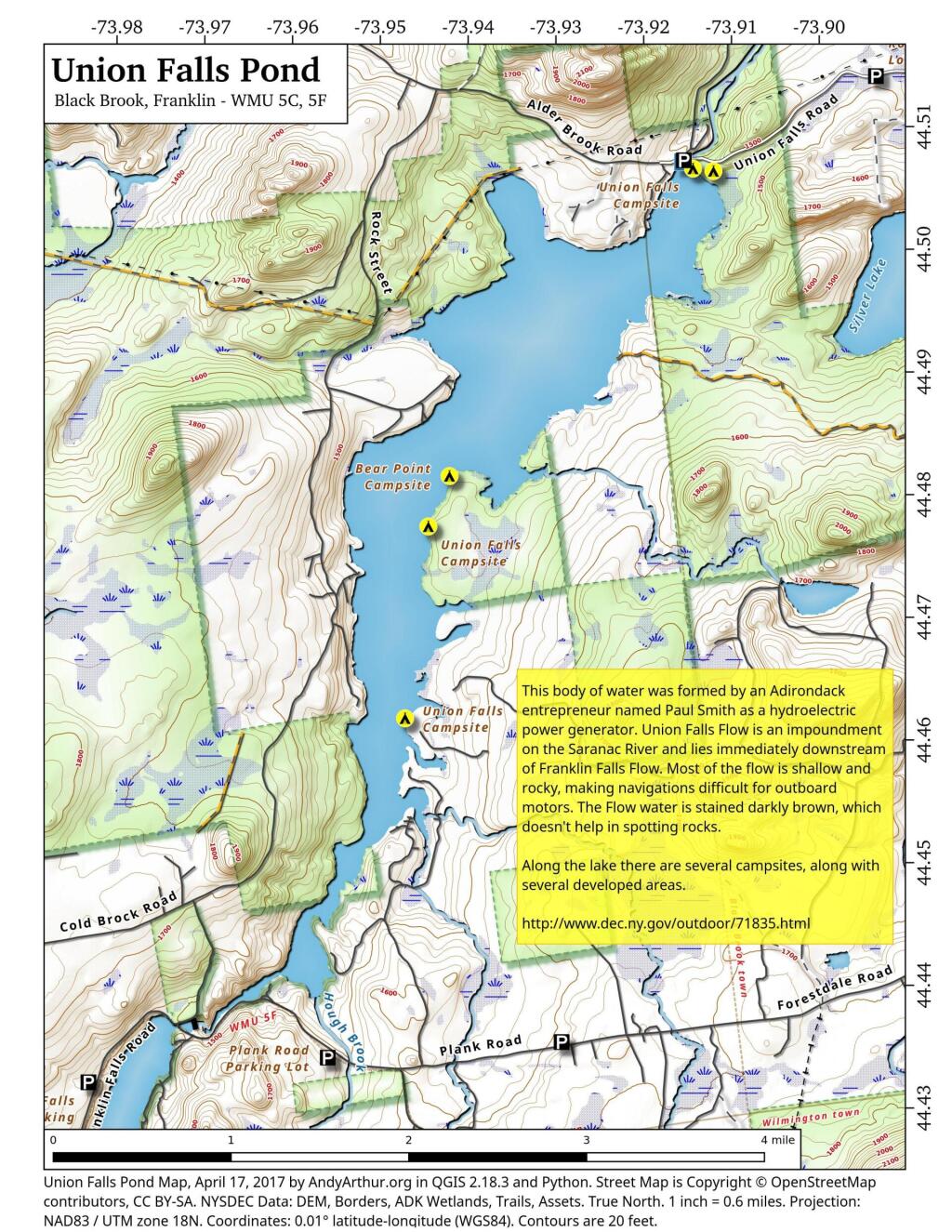
More about Union Falls Pond...
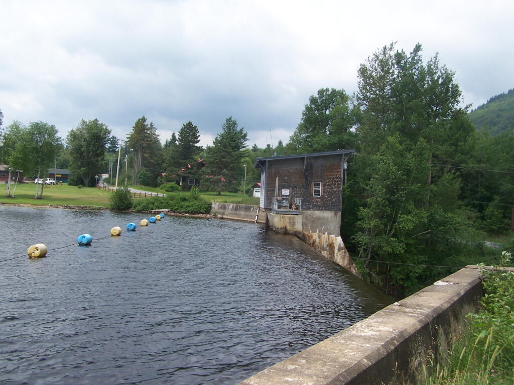
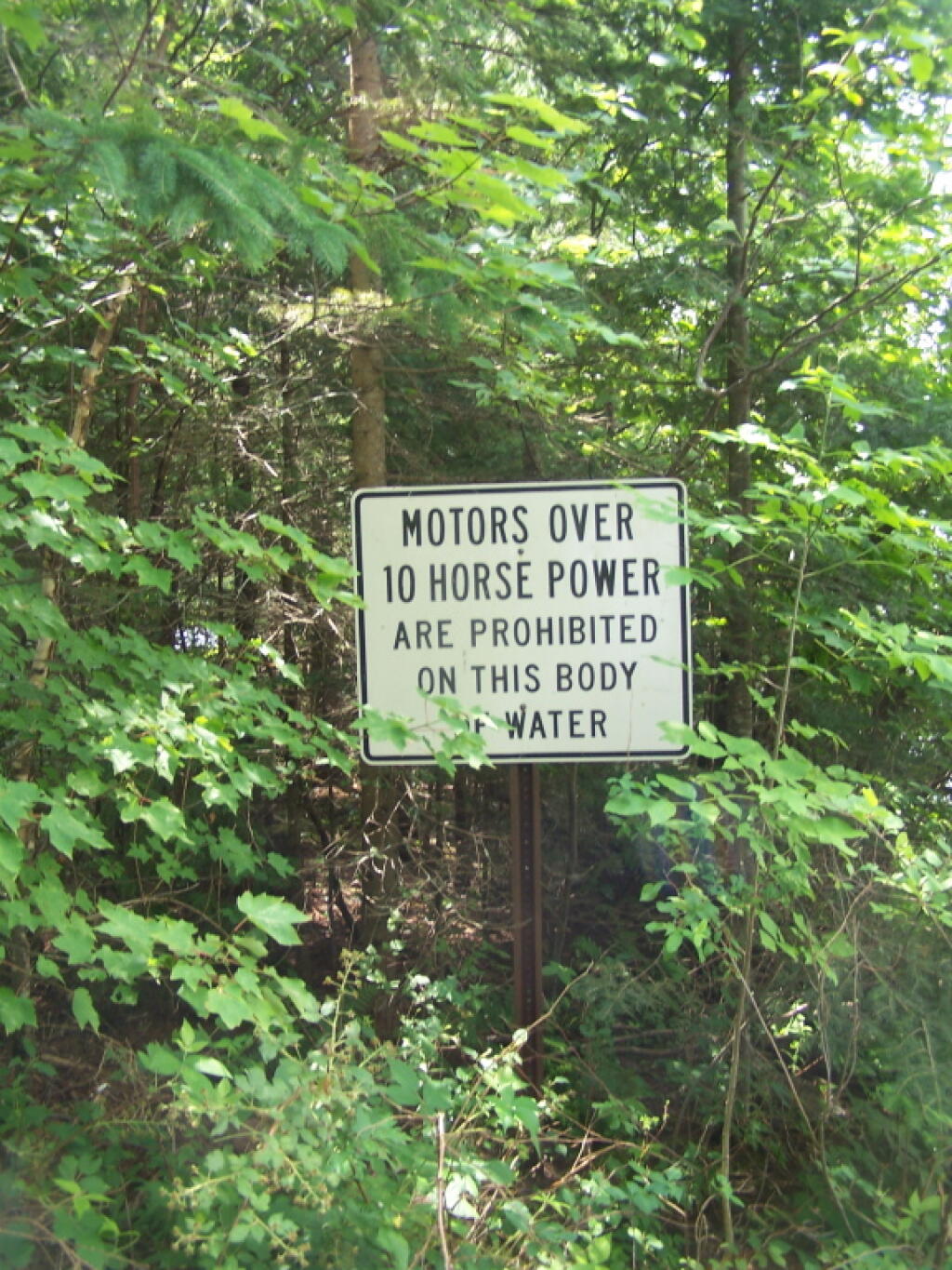
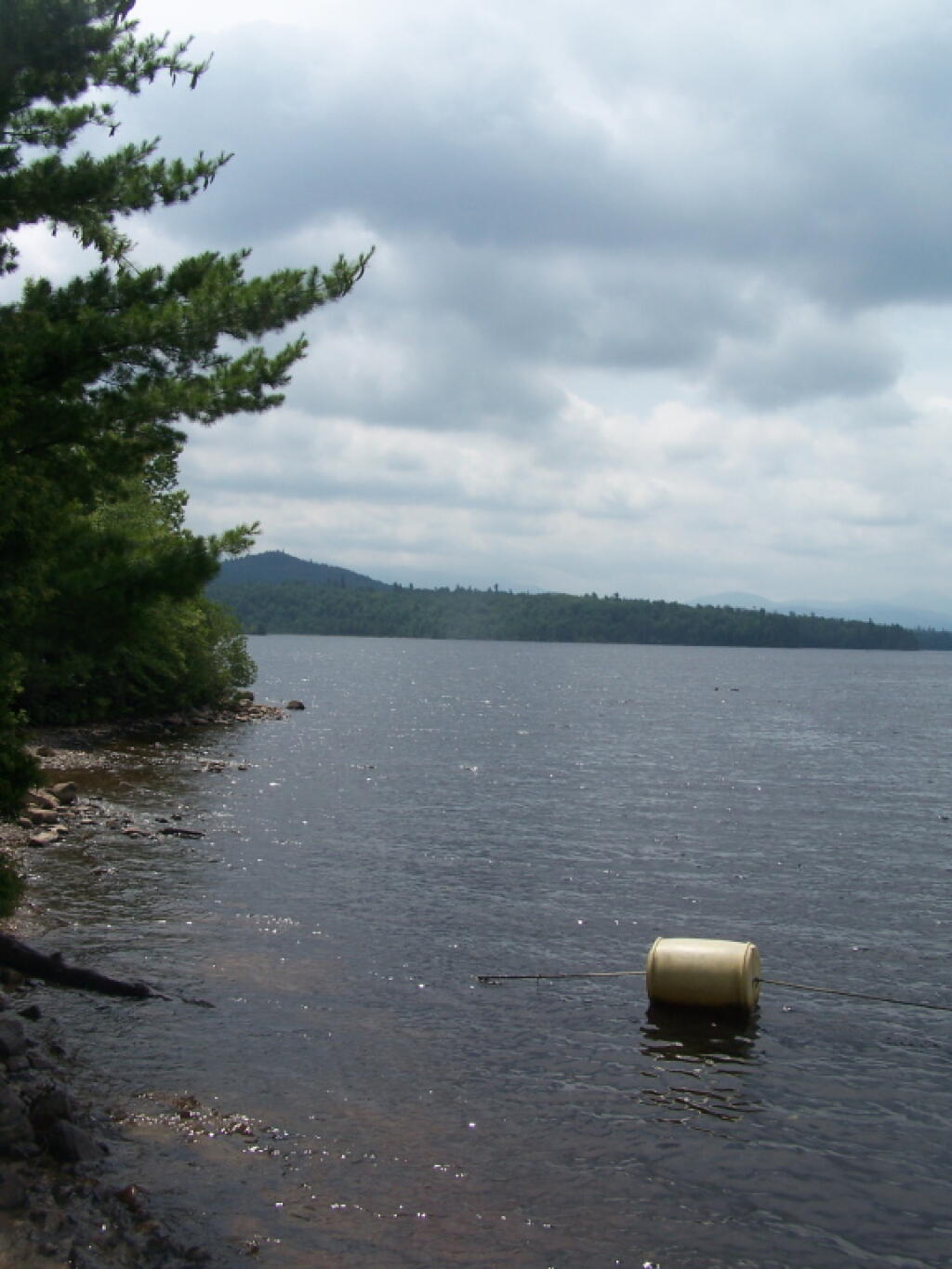
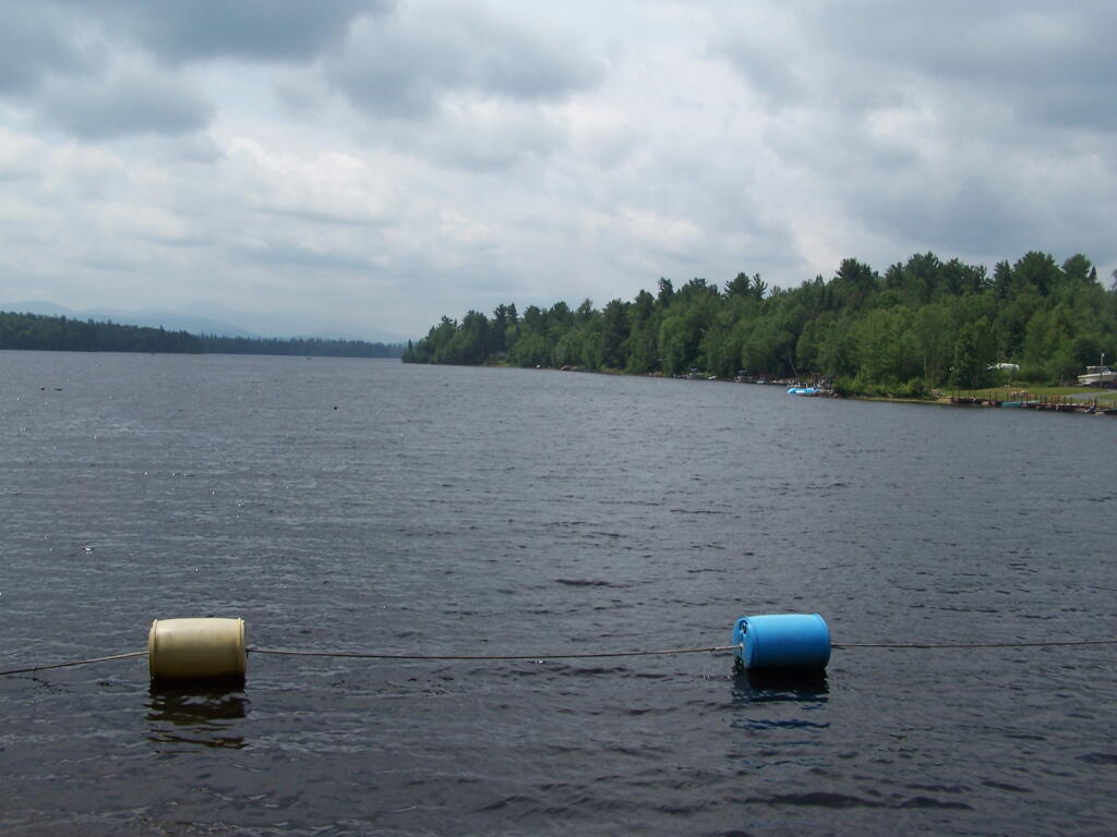
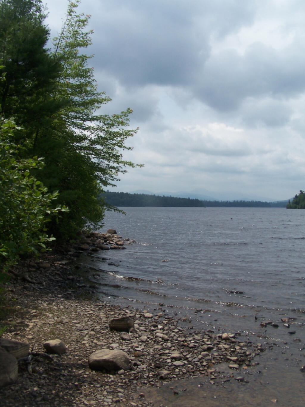
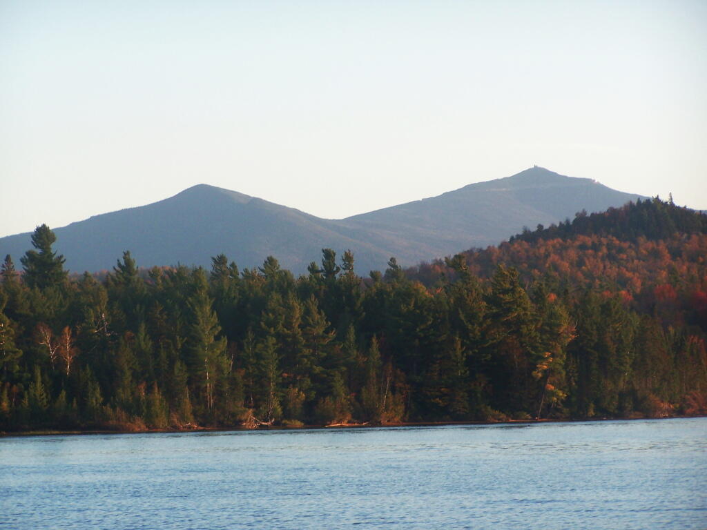
A 3-mile lake north of Franklin Falls in the southeast part of the Town of Franklin. Offers paddling with breathtaking views of Whiteface Mountain, with several campsites along the lake.
No Comments
Have you seen the ioverland app? They don’t have to much listed for upstate NY but I like it. Seems like something you’d be interested in.
ioverlander.com
I’ll have to take a look at it