Towards Jenkins Mountain 🖼️
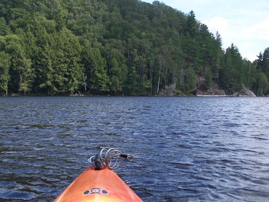
Download a JPEG Image of the Towards Jenkins Mountain.
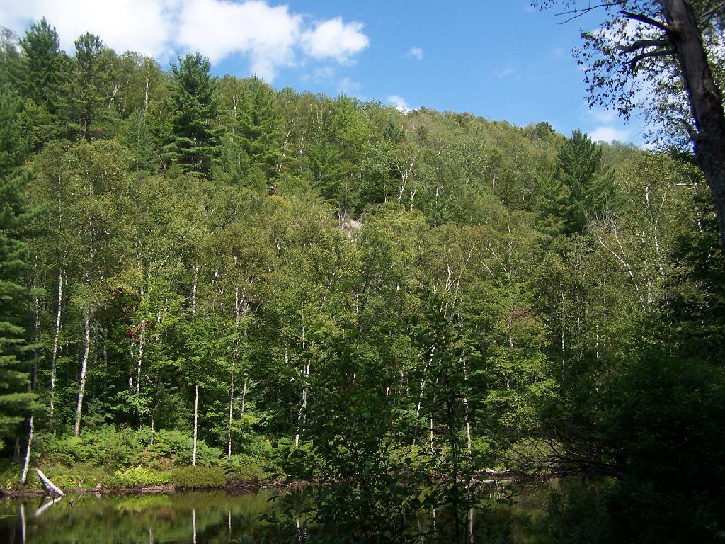
Towards Jenkins Mountain ...
The last hill that makes up Jenkins Mountain is where Mountain Pond gets it's name from.
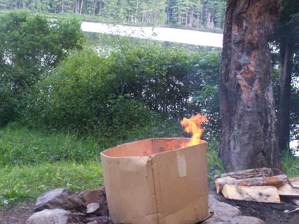
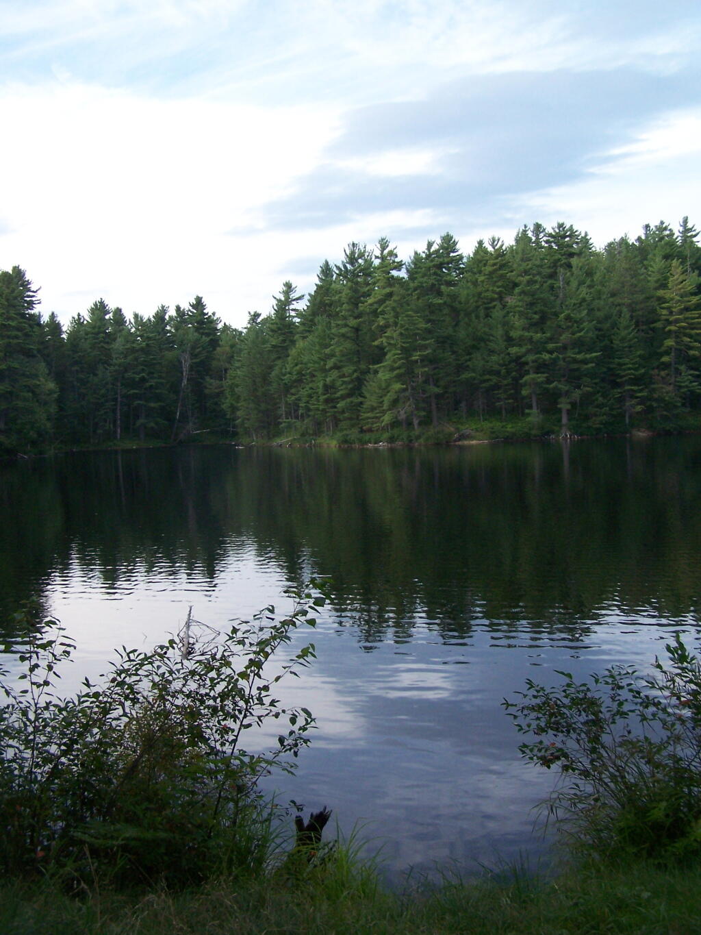
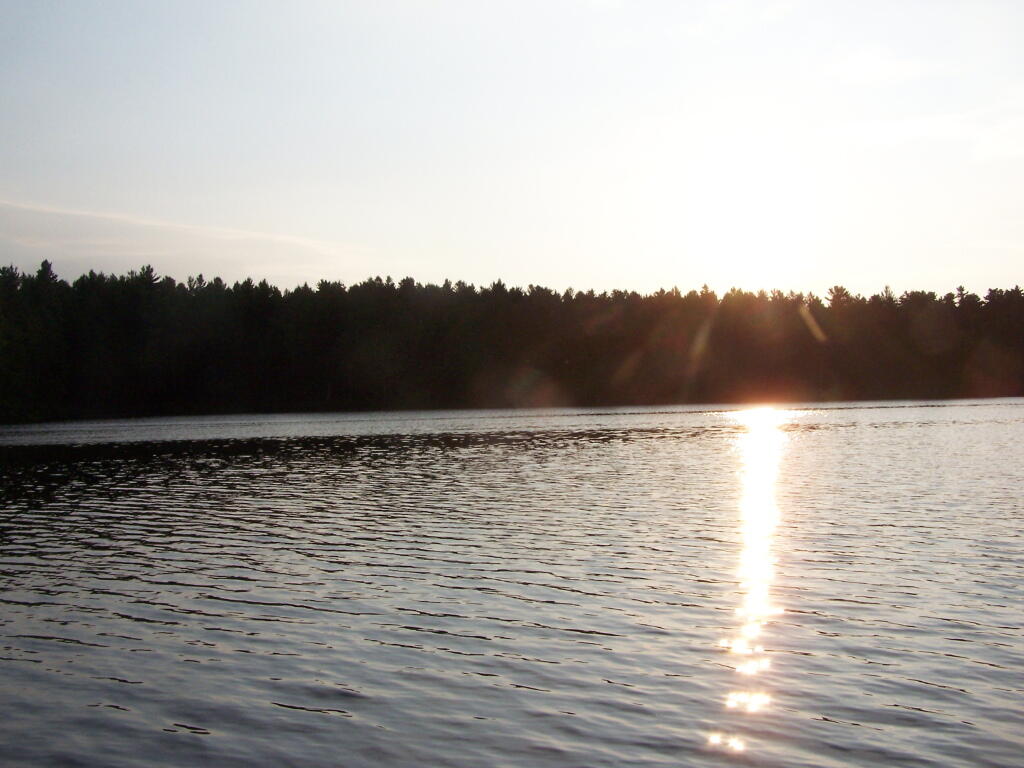
Taken on Saturday August 14, 2010 at Mountain Pond.
More about Mountain Pond...
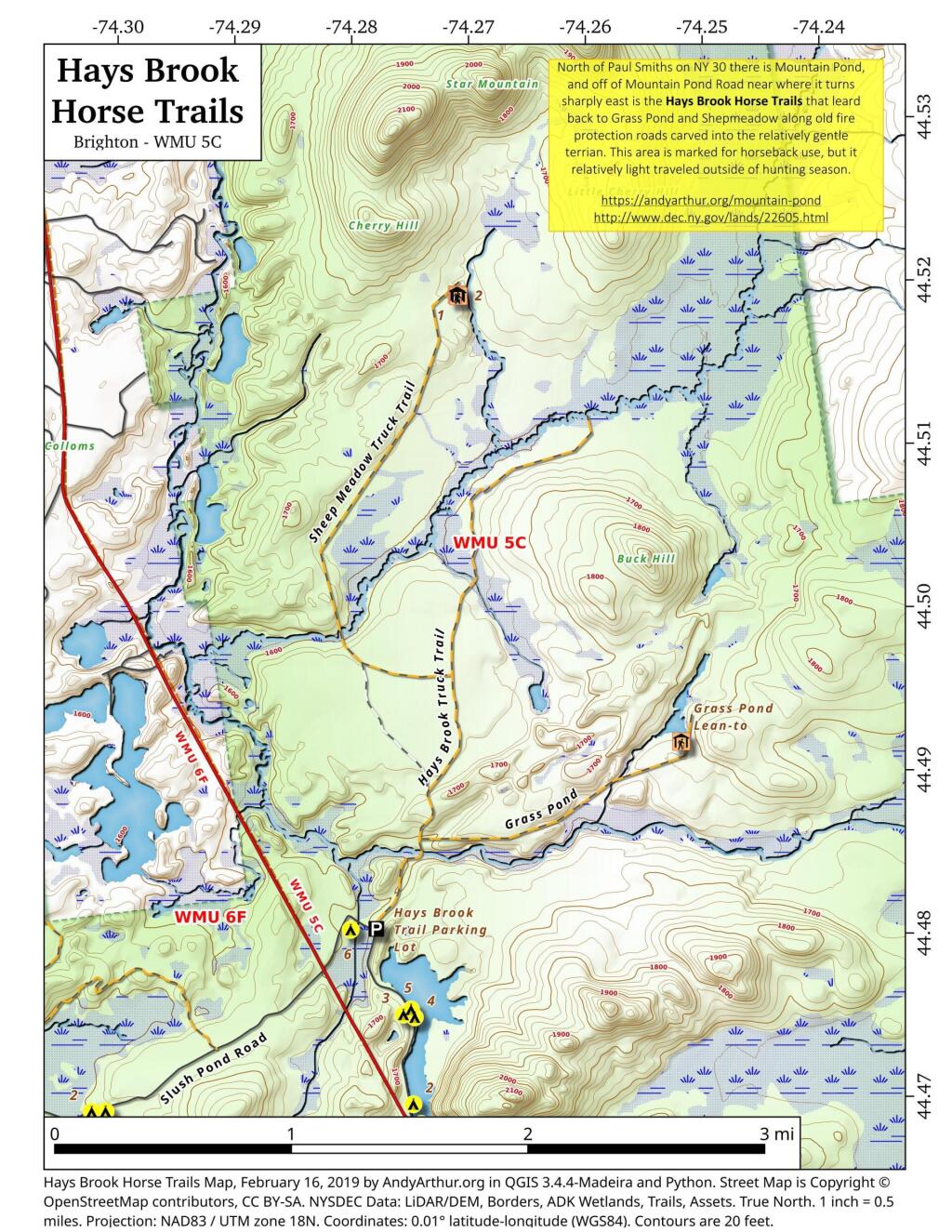
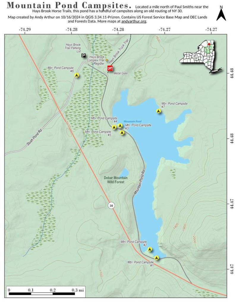
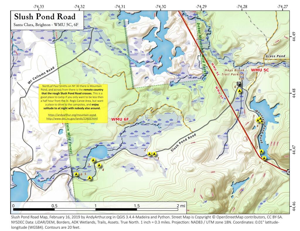
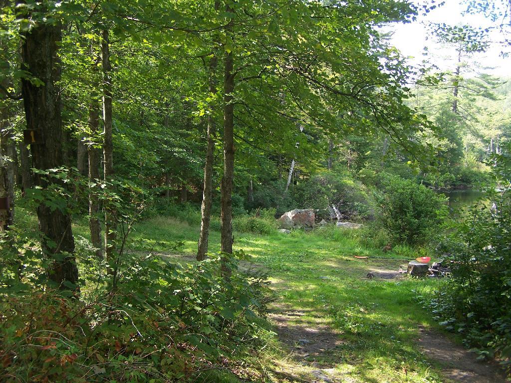
Mountain Pond is a small, narrow lake, located along Old Route 30, just 2 miles north of Paul Smiths. Offers 6-roadside camping spots, along with a secluded, lesser used pond, near Barnum Pond and Osgood Pond.
Download the PDF Map Pack with All Maps from Mountain Pond.