Burn Baby Burn 🖼️
Download a High Resolution JPEG Image of the Burn Baby Burn or an Adobe Acrobat Printable PDF of the Burn Baby Burn.
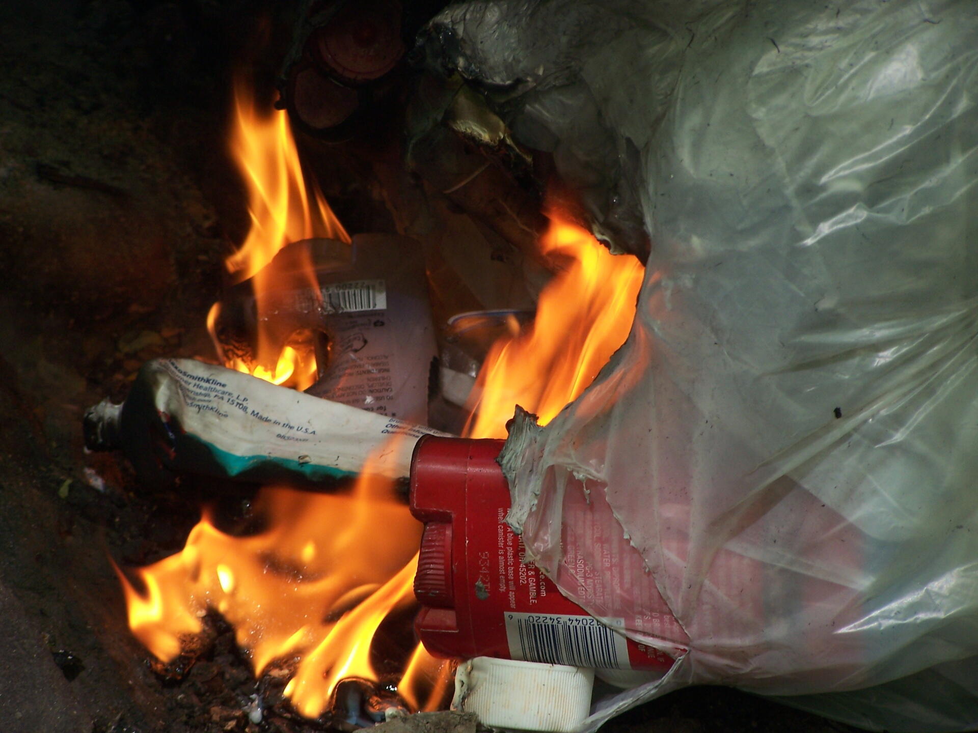
Burn Baby Burn ...
Taken on Saturday May 15, 2010 at Fire.

More about Fire...


Download a High Resolution JPEG Image of the Burn Baby Burn or an Adobe Acrobat Printable PDF of the Burn Baby Burn.
Taken on Saturday May 15, 2010 at Fire.